Plizio Visual Lab
Teesta River
Weather…
Water temperature…
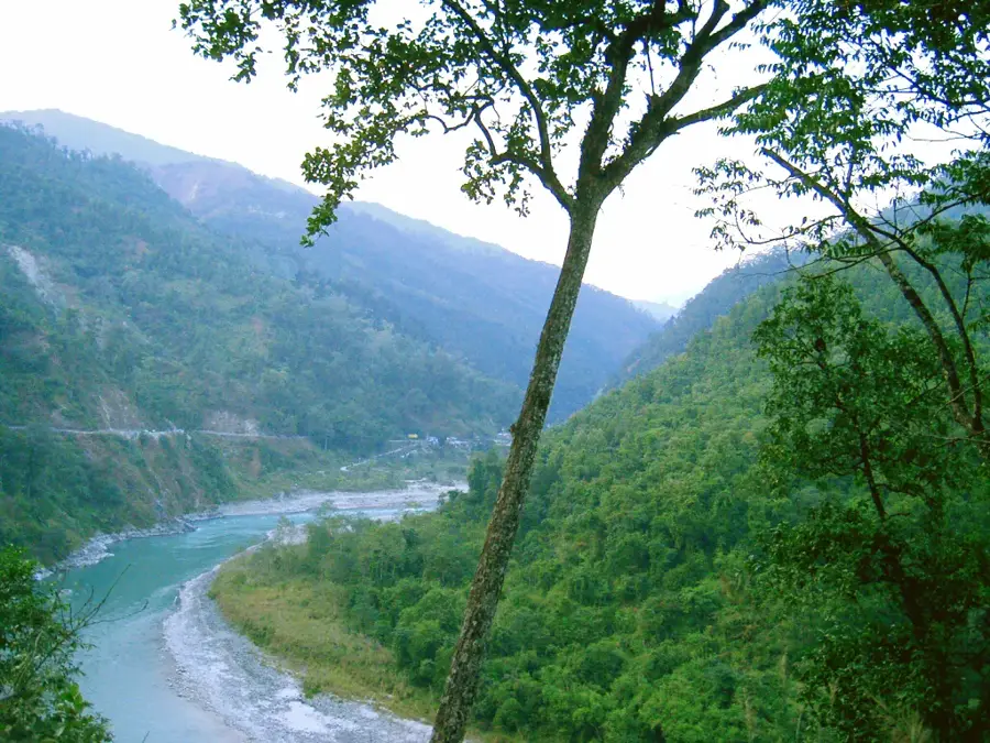
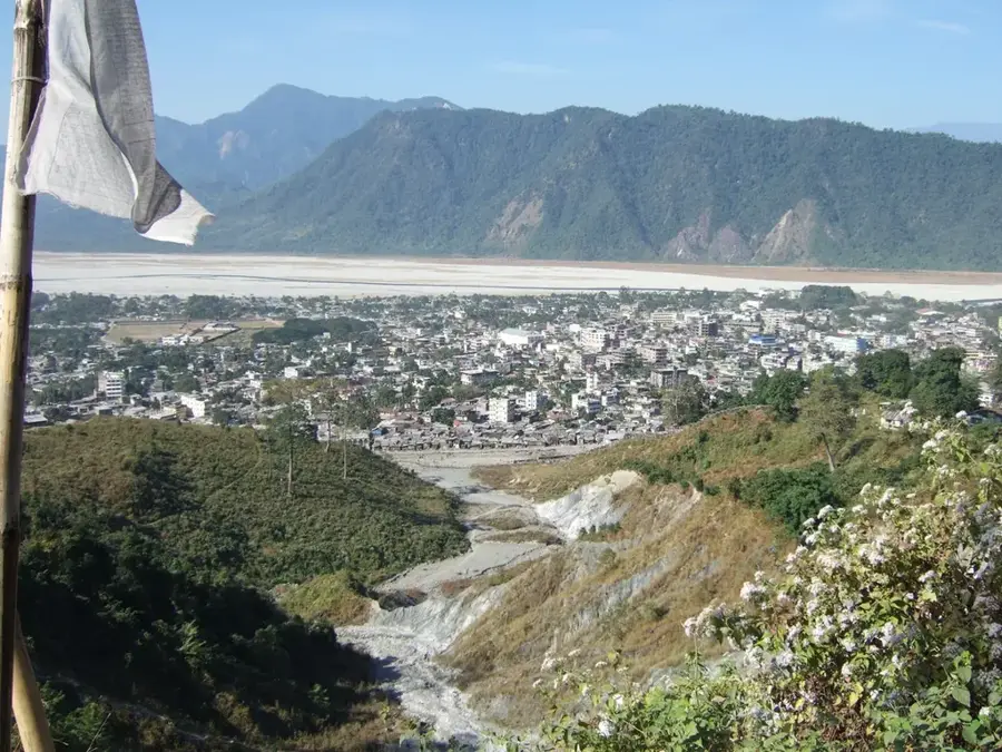
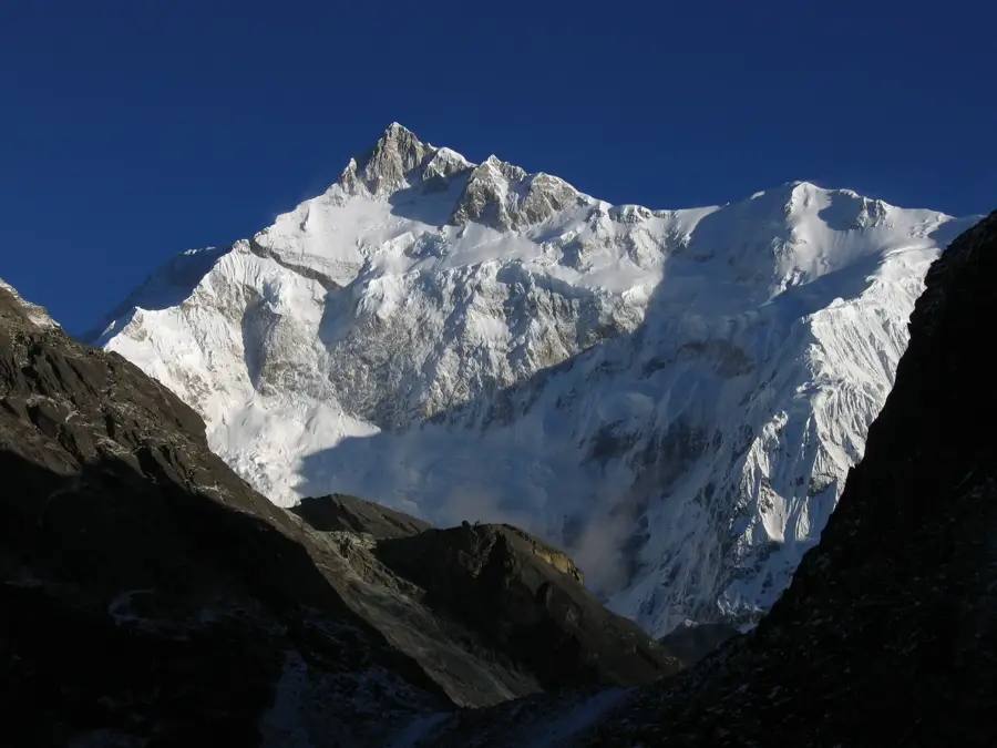
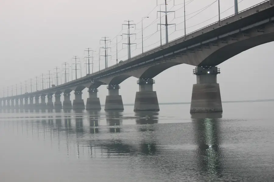
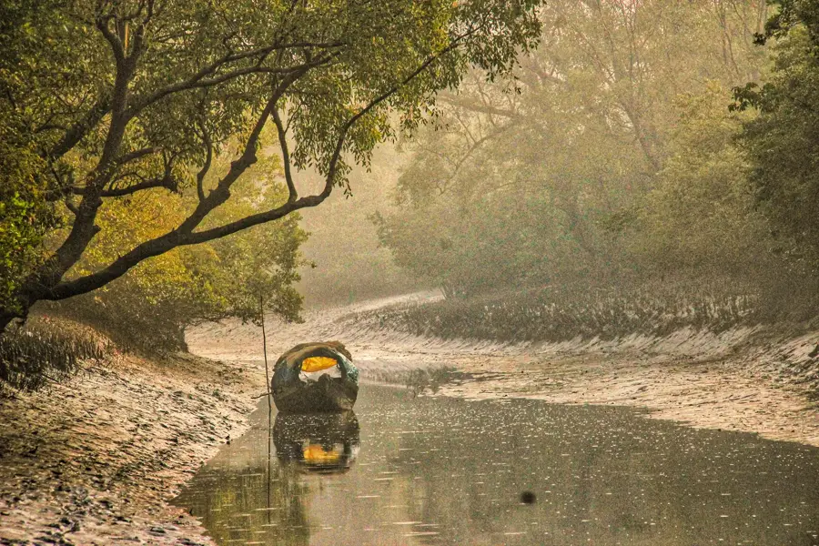
The Teesta River is a significant transboundary river that originates in the Himalayas in the Indian state of Sikkim and flows through West Bengal before entering northern Bangladesh. It is the fourth largest river in the country and eventually merges with the Jamuna (Brahmaputra). For the agricultural sector in the Rangpur region, the Teesta is of existential importance, as the Teesta Barrage at Gadimari facilitates the irrigation of over 600,000 hectares of farmland. However, the sharing of the river's water has been a subject of diplomatic tension between India and Bangladesh for decades, particularly during the lean dry season when water levels drop precipitously. Conversely, during the monsoon, the Teesta often causes catastrophic flooding and severe riverbank erosion, displacing thousands of families. Geologically, the river radically changed its course following a massive flood in 1787; prior to this, it flowed directly into the Ganges. Today, managing the Teesta as an integrated ecological entity is one of the most pressing environmental policy challenges in South Asia.
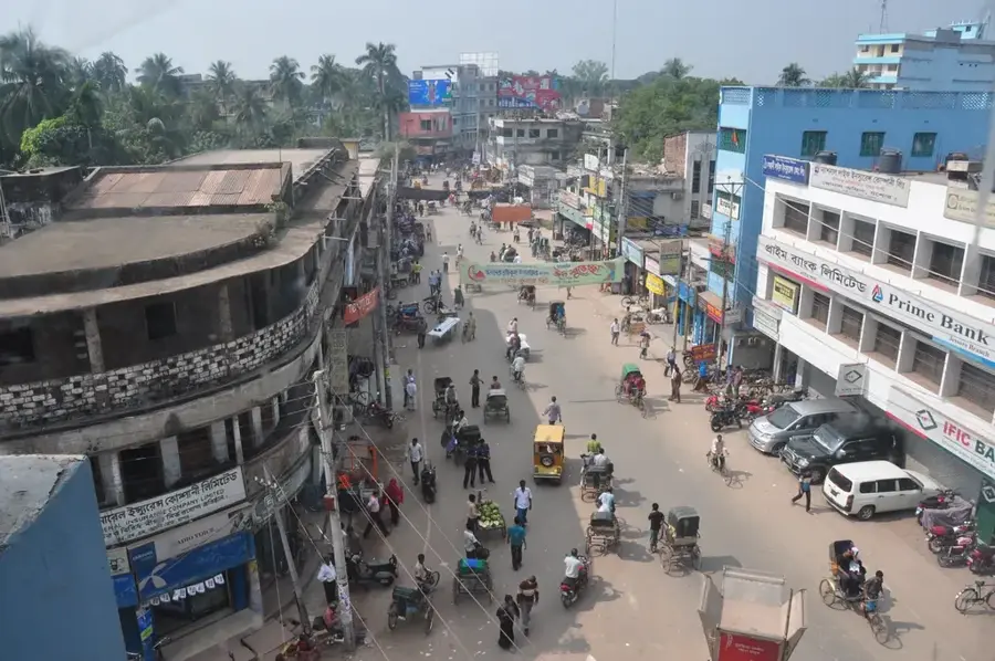
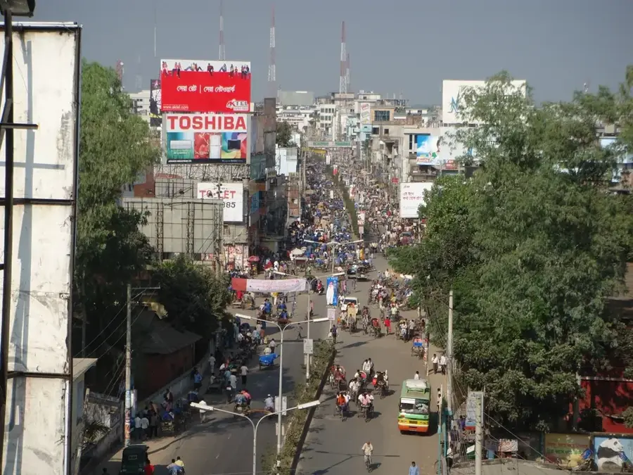
- Location: Bangladesh
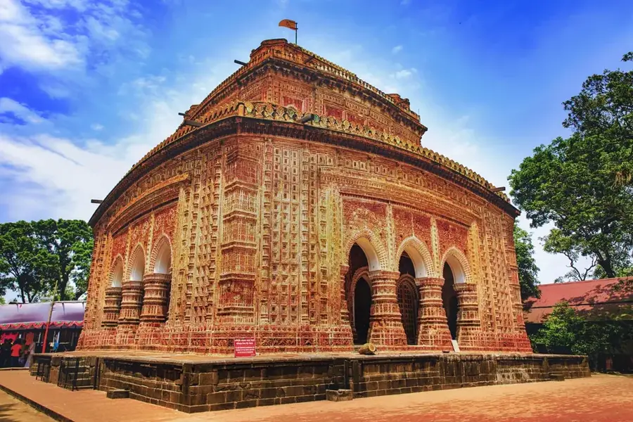
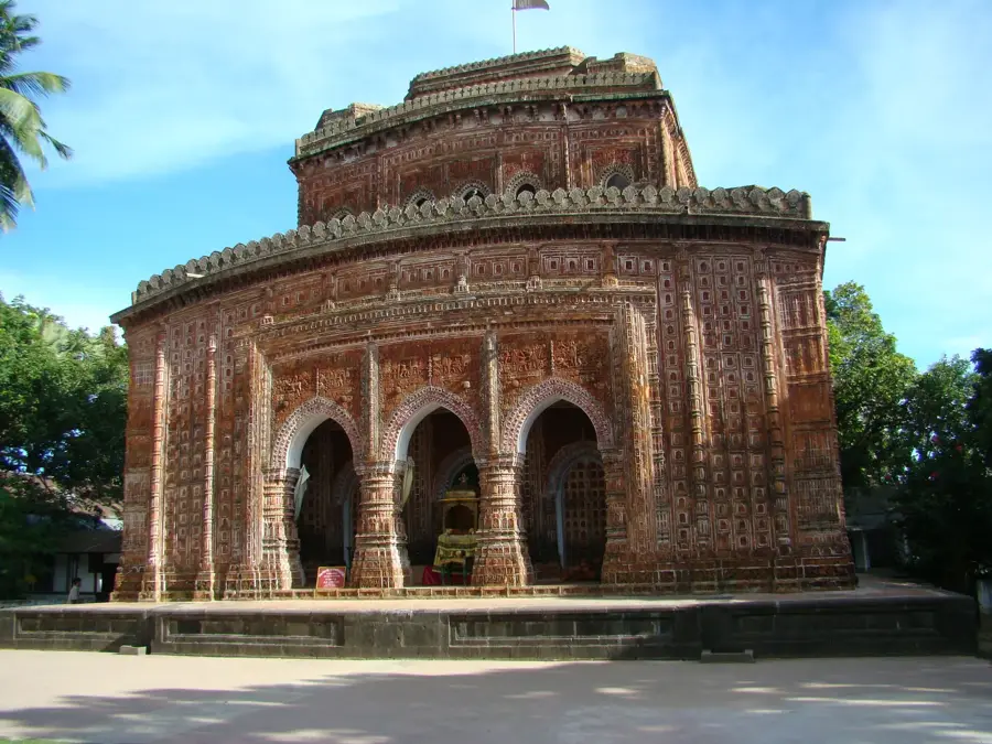
- Top sights: Ekarchali Haat · Ekarchali Bazar, Market · A.Kaiums Market, Market
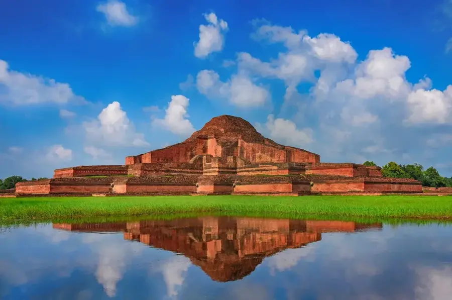
- Nearby: Naogaon (7 km)
Best time to visit & climate
The most pleasant time to visit is Feb, Nov, Dec.
| Jan | Feb | Mar | Apr | May | Jun | Jul | Aug | Sep | Oct | Nov | Dec | |
|---|---|---|---|---|---|---|---|---|---|---|---|---|
| Avg °C | 16 | 20 | 25 | 30 | 30 | 30 | 29 | 29 | 28 | 25 | 21 | 17 |
| Rain mm | 6 | 11 | 29 | 93 | 206 | 324 | 462 | 359 | 332 | 130 | 6 | 3 |
📋 Practical info
Geography
Facts
- The total length of the Teesta River is approximately 414 kilometers.
- Before 1787, the Teesta was a tributary of the Ganges River.
- The Teesta Barrage in Bangladesh was commissioned in 1990.
- The river originates from Tso Lhamo Lake at an elevation of 5,330 meters.
- Roughly 10 million people depend directly on the Teesta for their livelihoods.
- During the dry season, discharge can fall below 300 cubic meters per second.
Explore nearby
Notable places around
Route planner — Car & Motorhome
Where do you start? We build the route here, with stops and country notes along the way.
© OpenStreetMap contributors · OpenRouteService
Sights in the town Teesta River (6)
Sights nearby
Frequently asked questions
Where is the Teesta River located?
Why is the Teesta Barrage important?
Can you do water sports there?
When is the best time to visit the barrage?
Are there hotels there?
Teesta River: where is it located?
Teesta River: what is there to see?
Teesta River: when is the best time to visit?
Teesta River: why is it worth visiting?

Nearby cities
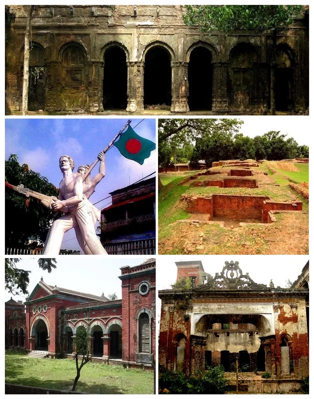
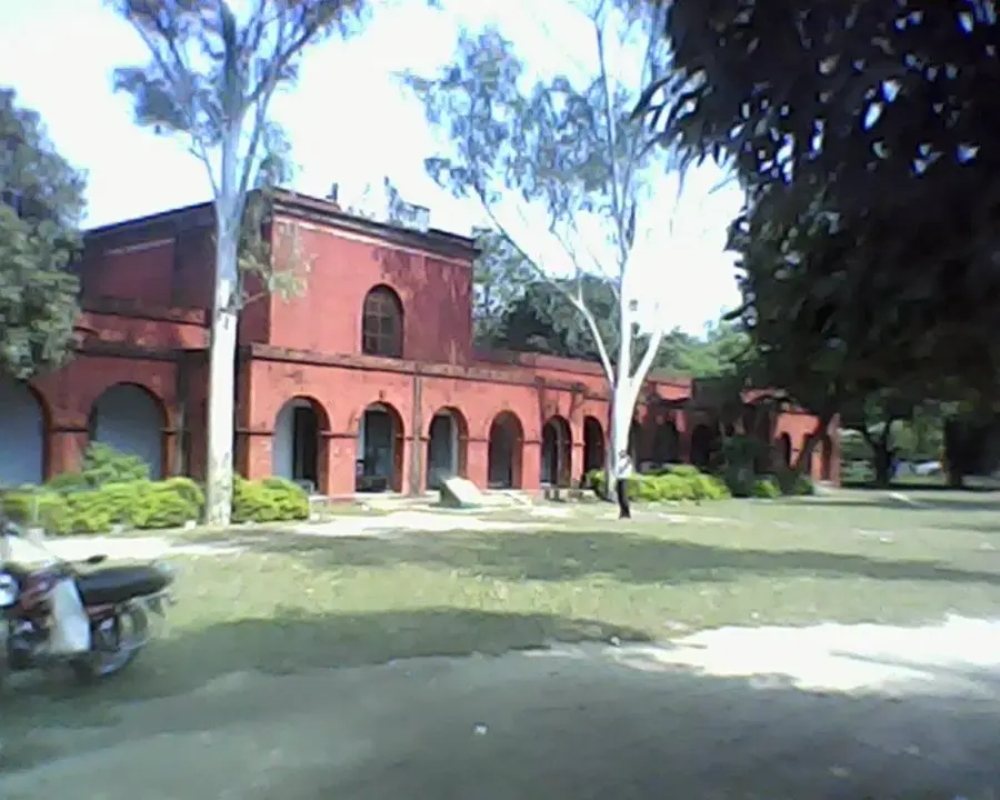
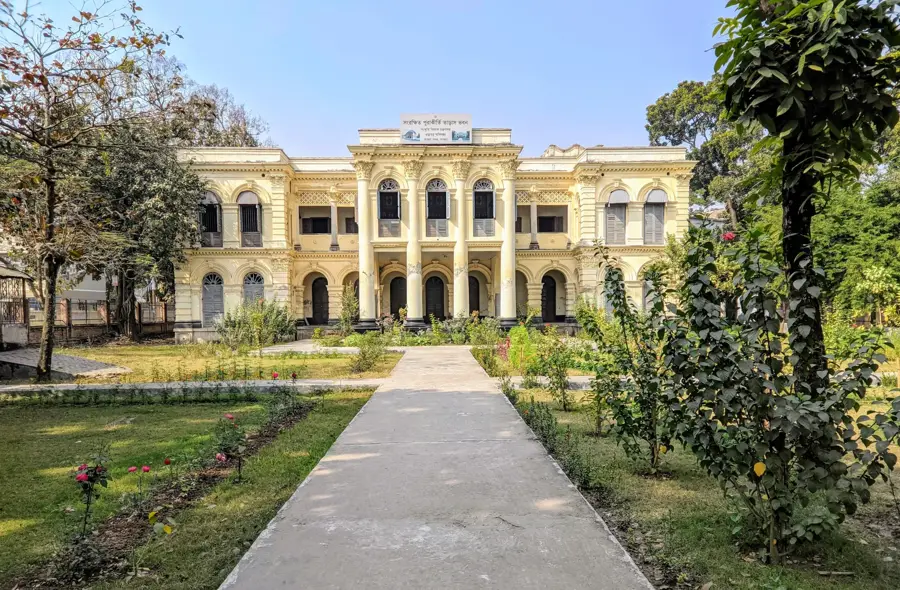

History & landmarks
More places