Plizio Visual Lab
Shire of Corangamite

ℹ️Practical info — Shire of Corangamite
▾
🌤 Weather — 5 days
📍 Nearby
Sights nearby
💡 Tips
- Visit the 12 Apostles early in the morning or late afternoon to avoid the main rush of tour buses.
- Coastal weather can be highly unpredictable; always bring layers and a windproof jacket.
- Don't miss the inland volcanic lakes, like Lake Bullen Merri, for a scenic and quieter alternative to the coast.
- Exercise extreme caution when driving at dawn and dusk, as kangaroos are very active near the roads.
- Stop at the Bay of Islands for spectacular coastal cliffs that are often much less crowded than the main sights.
🍽 Food
Sample excellent artisan cheeses from the dairy farms around Timboon and Camperdown.
Treat yourself to locally made ice cream, capitalizing on the region's rich dairy heritage.
Enjoy a hearty Chicken Parmigiana or a steak at one of the historic local pubs in the inland towns.
🛍 Shopping · 🧘 Quiet spots
Browse the appealing main street shops for unique vintage finds and collectibles.
Stock up on local wines, preserves, and dairy products straight from the regional makers.
Drive or hike up this dormant volcano for sweeping panoramic views of the surrounding crater lakes.
A deep, pretty volcanic crater lake that is first-rate for a peaceful afternoon picnic.
Explore this dramatic coastal gorge outside of peak hours to fully appreciate its natural serenity.
Water temperature…
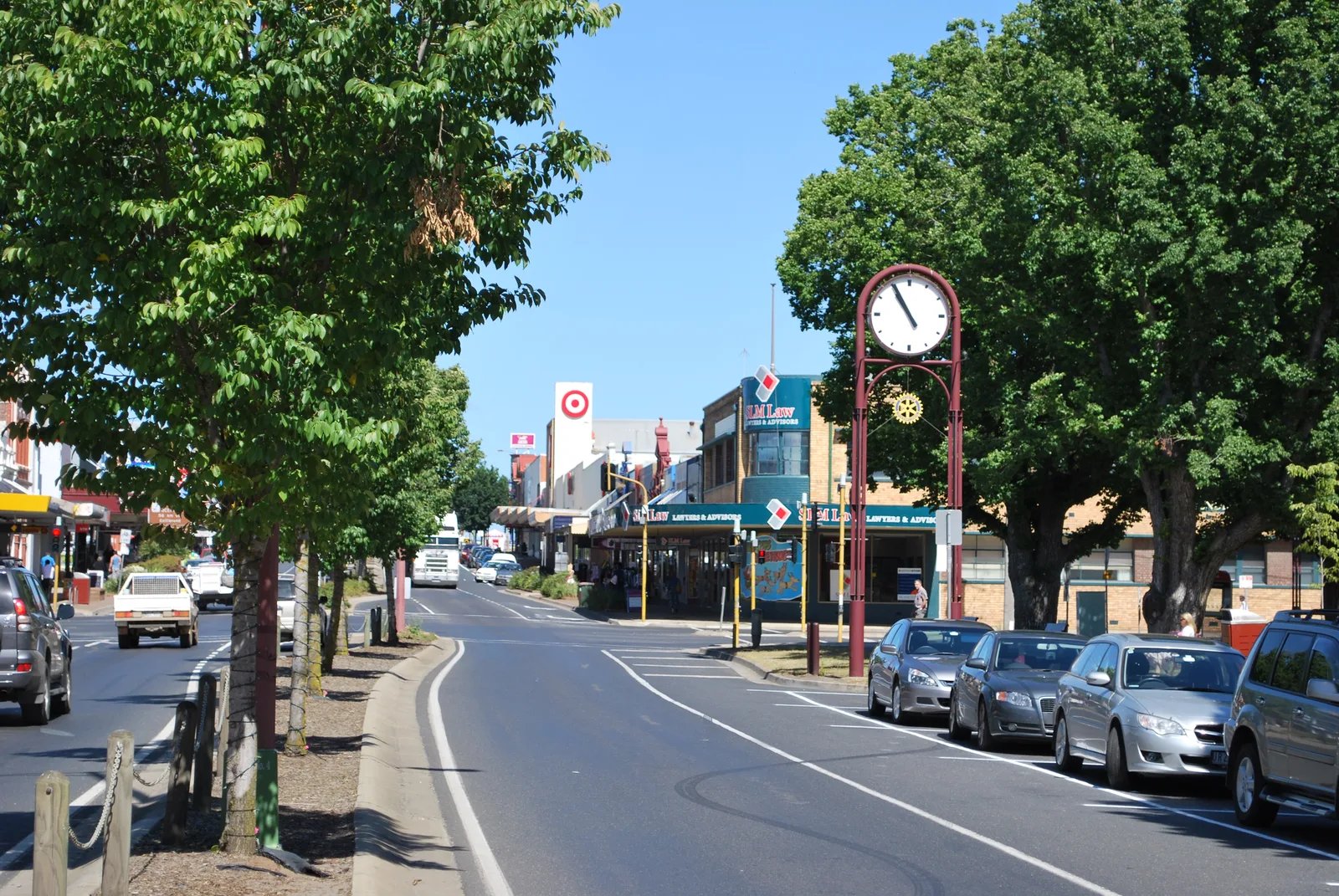
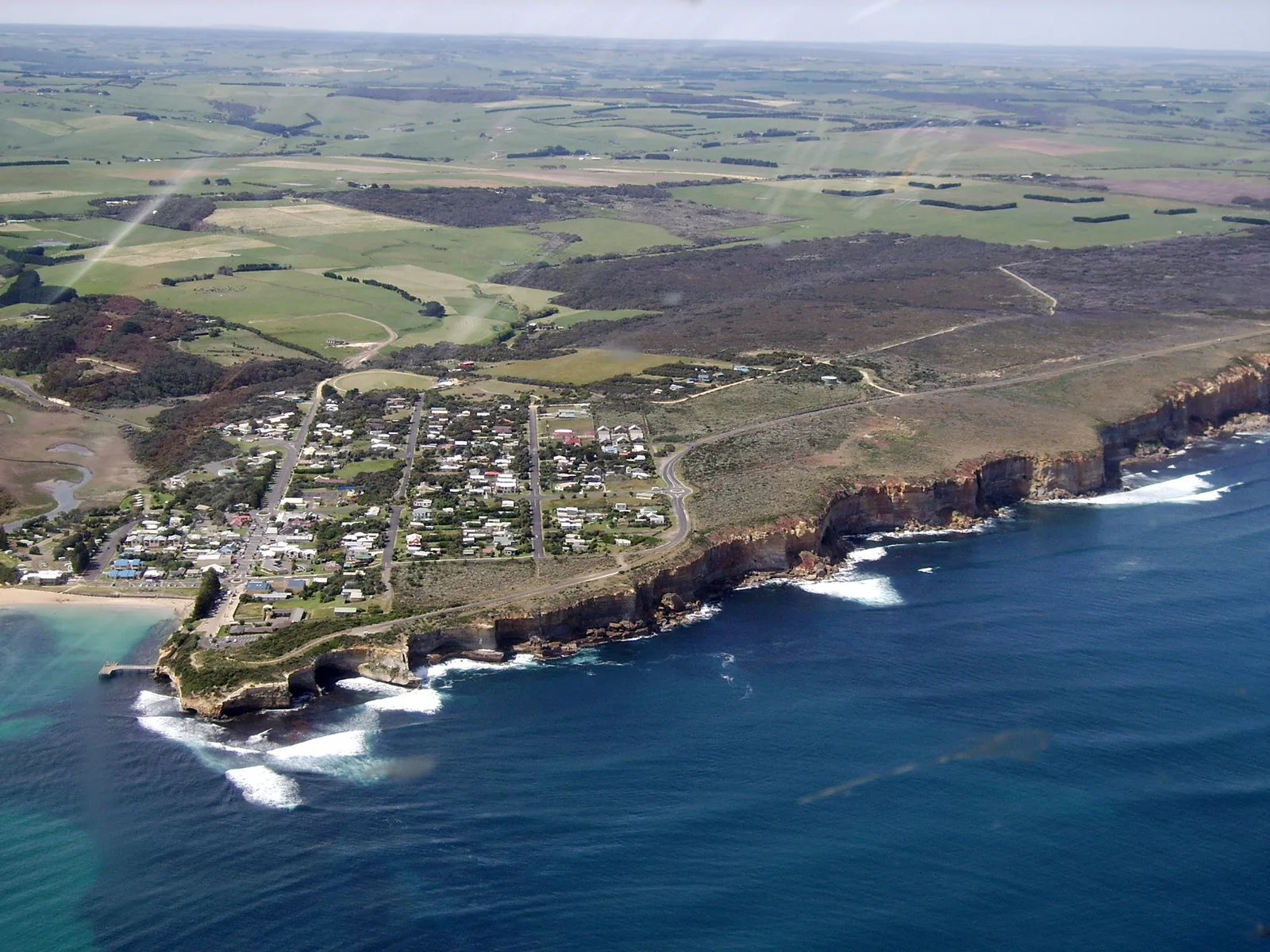
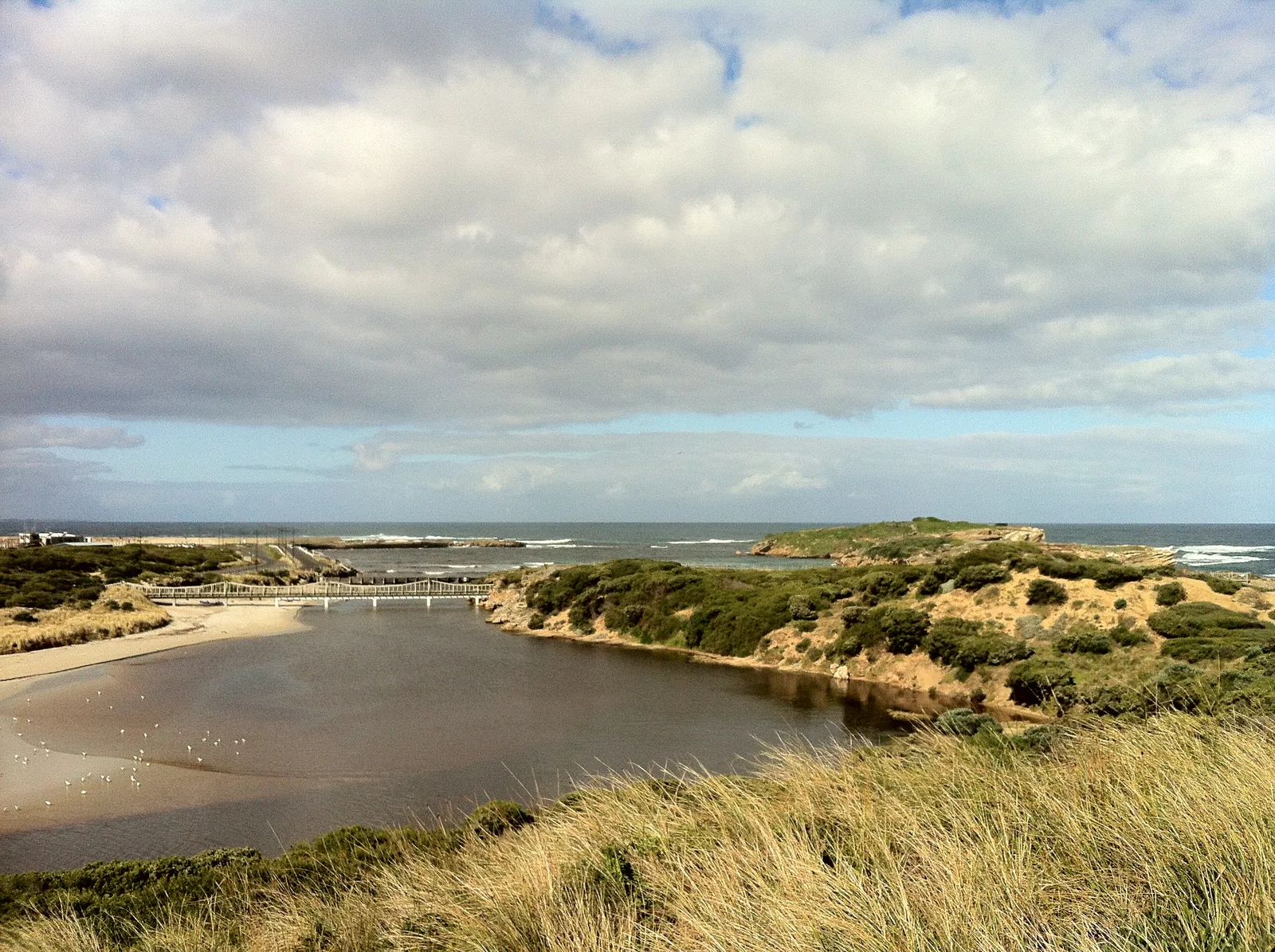
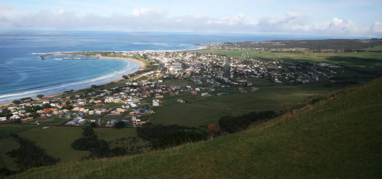
Stretching from the rugged southern coastline into the fertile agricultural heartland of Victoria, the Shire of Corangamite is a region of extraordinary geological diversity. The southern boundary of the shire encompasses some of the most famous sections of the Great Ocean Road, including the iconic limestone stacks of the Twelve Apostles within the Port Campbell National Park. These dramatic coastal cliffs attract millions of global tourists who come to witness the raw power of the Southern Ocean. Moving inland from the dramatic shipwrecks and coastal gorges, the landscape transitions into one of the world's most significant volcanic plains. Centered around towns like Camperdown and Terang, the area is dotted with perfectly formed crater lakes, such as Lake Bullen Merri, and dominating volcanic cones like Mount Elephant. These lakes provide excellent recreational opportunities for fishing, boating, and hiking. Economically and culturally, Corangamite is a powerhouse of the Australian dairy industry. The lush, green pastures supported by the rich volcanic soil have sustained farming communities for generations. Visitors can enjoy local artisan cheeses and fresh produce, making the region a delightful blend of world-class scenic touring and rich agricultural heritage.
Explore on the map
How well do you know Australia?
Find cities, landscapes and regions in 10 varied challenges on the interactive map.
Your journey, your memory
A postcard from Shire of Corangamite
Turn your own photo into a personal postcard with a local stamp. Free and no sign-up required.
Create a postcard- Location: Australia
- Nearby: Colac (37 km)
- Population: ~16.376
Geography
Facts
- Covers Great Ocean Road sections
- Home to the Twelve Apostles
- Port Campbell National Park
- Features vast volcanic plains
- Lake Bullen Merri crater lake
- Major dairy farming region
- Located in southwest Victoria
- Mount Elephant volcanic cone
Explore nearby
Notable places around
Route planner — Car & Motorhome
Where do you start? We build the route here, with stops and country notes along the way.
© OpenStreetMap contributors · OpenRouteService
Sights in the town Shire of Corangamite (1)
Frequently asked questions
Shire of Corangamite: where is it located?
Shire of Corangamite: why is it worth visiting?

Nearby cities