Plizio Visual Lab
Innisfail
ℹ️Practical info — Innisfail
▾
🌤 Weather — 5 days
📍 Nearby
Sights nearby
💡 Tips
- Take a self-guided walking tour to admire the town's impressive Art Deco architecture, rebuilt after early 20th-century cyclones.
- Be aware of crocodile warnings; never swim in the Johnstone River and stay back from the water's edge.
- Visit during the dry season (May to October) for pleasant weather and to avoid the humid tropical summer.
- If you visit nearby beaches like Etty Bay, you might spot wild cassowaries-keep a safe distance and do not feed them.
🍽 Food
Served at the classic local pubs along the Johnstone Riverfront.
Look for fresh bananas and papayas at roadside farm stalls throughout the region.
Grab a savory pie from one of the bakeries along Edith Street.
🛍 Shopping · 🧘 Quiet spots
Hunt for fresh goods at weekend markets or direct farm gate stalls around the town.
The main shopping strip offering independent boutiques and everyday essentials.
A scenic, peaceful pathway tracing the water's edge.
Botanical gardens and spacious parklands great for a quiet picnic.
Water temperature…
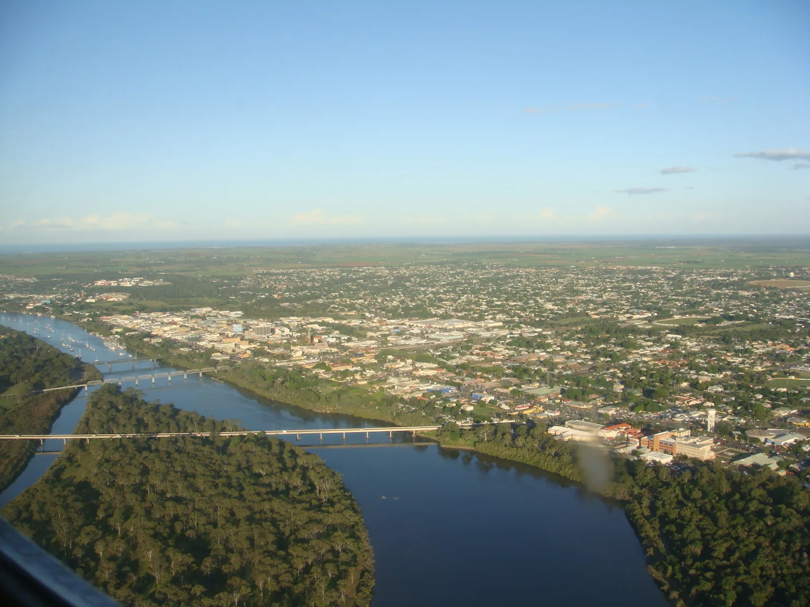
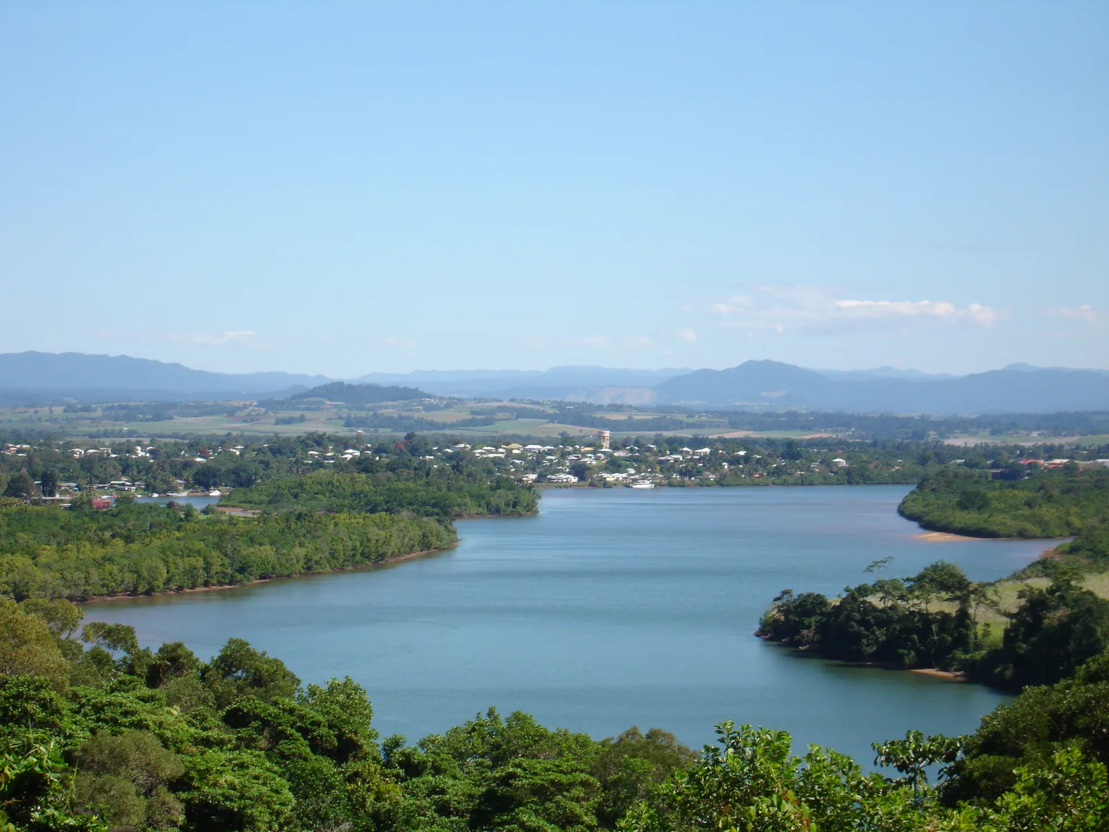
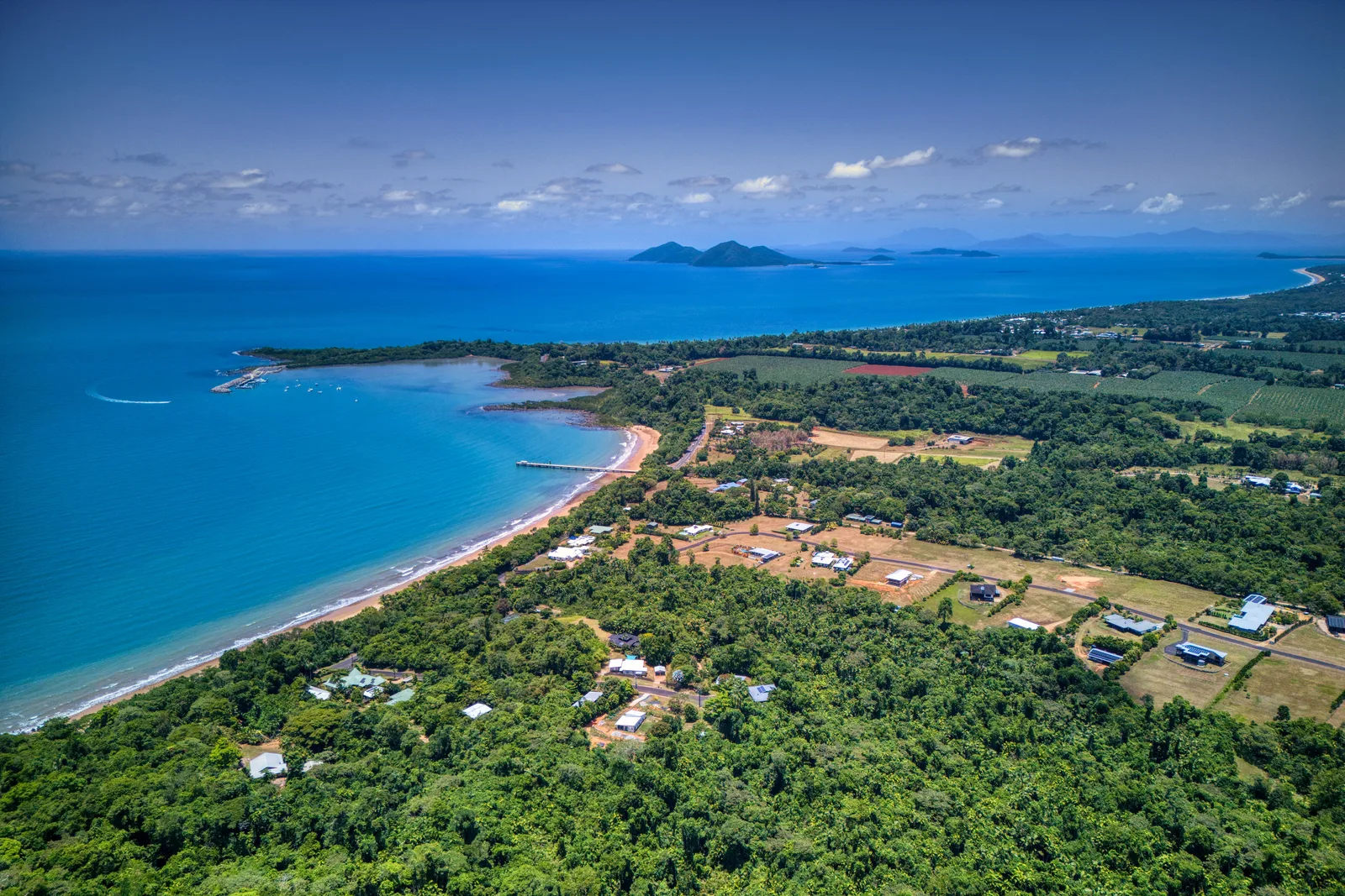
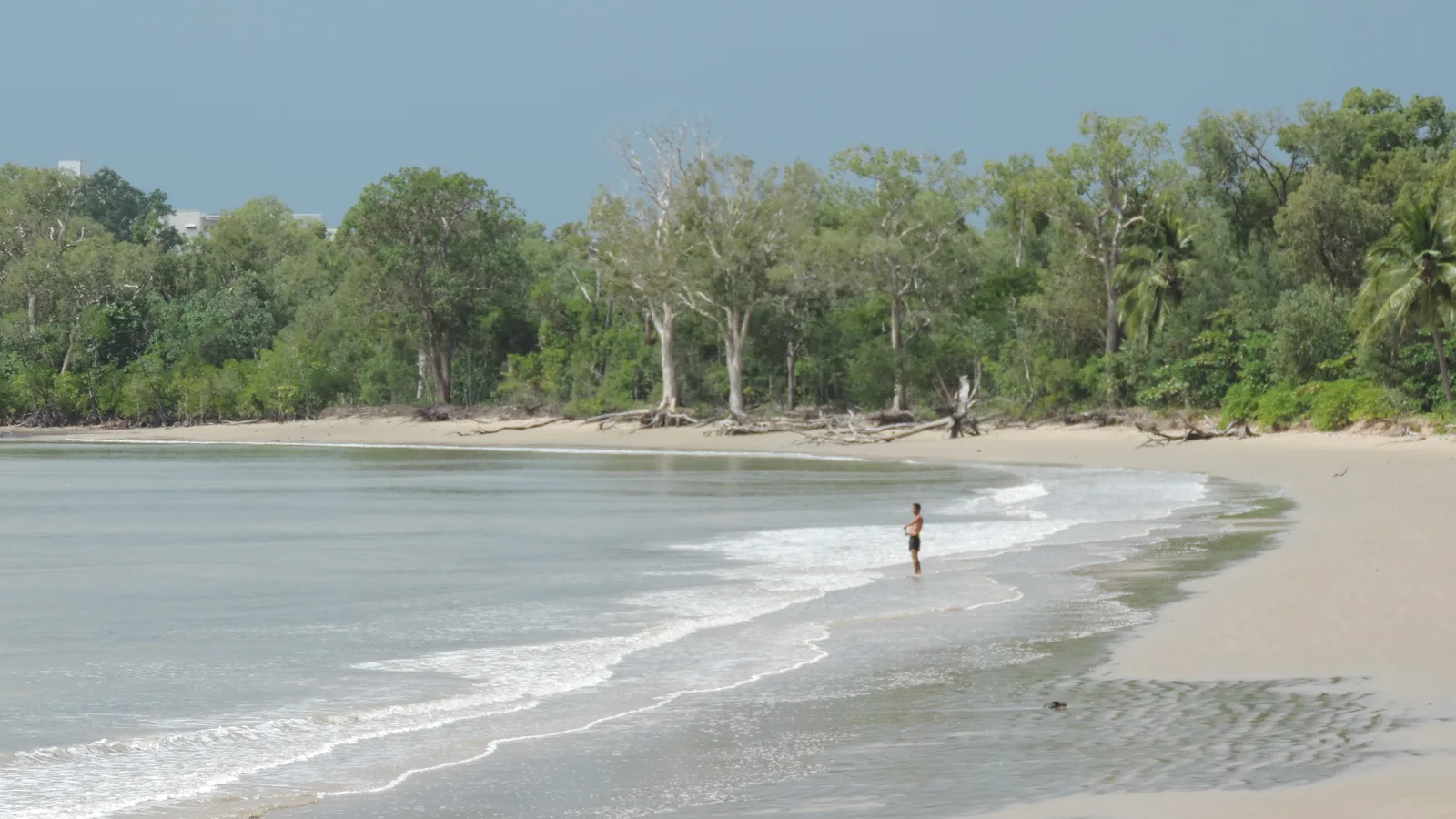
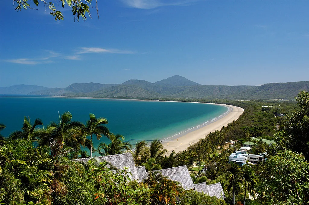
Situated at the junction of the North and South Johnstone Rivers, Innisfail is a major regional center in the Cassowary Coast Region of Far North Queensland. The town is famous for its lush, tropical surroundings and is one of the most productive agricultural areas in Australia, heavily focused on banana and sugar cane farming. Innisfail is also noted for having one of the best collections of Art Deco architecture in the country, rebuilt after a devastating cyclone in 1918. While primarily a river town, Innisfail provides easy access to the remarkable coastline and the Great Barrier Reef. The nearby Coconuts beach area has a glimpse of the beautiful tropical coast where the river meets the Coral Sea. Visitors can explore the dense rainforests of the surrounding national parks, such as Wooroonooran, which feature spectacular waterfalls and diverse wildlife, including the elusive cassowary. The local food scene heavily features fresh tropical fruits and locally caught seafood, reflecting the diverse cultural background of the community. Innisfail is located approximately an hour's drive south of Cairns along the Bruce Highway, making it highly accessible for travelers exploring the tropical wonders of North Queensland.
Explore on the map
How well do you know Australia?
Find cities, landscapes and regions in 10 varied challenges on the interactive map.
Your journey, your memory
A postcard from Innisfail
Turn your own photo into a personal postcard with a local stamp. Free and no sign-up required.
Create a postcard- Location: Australia
- Highlights: King George V Memorial Gate · Johnstone Shire Hall · Canecutters Memorial
- Nearby: Mission Beach (39 km)
- Population: ~7.173
Geography
Facts
- Cassowary Coast
- Johnstone River
- Art Deco architecture
- Banana farming
- Sugar cane
- Wooroonooran NP
- Coconuts beach
- Near Cairns
Explore nearby
Notable places around

Route planner — Car & Motorhome
Where do you start? We build the route here, with stops and country notes along the way.
© OpenStreetMap contributors · OpenRouteService
Sights in the town Innisfail (6)
Frequently asked questions
Innisfail: where is it located?
Innisfail: what is there to see?
Innisfail: why is it worth visiting?

Nearby cities