Plizio Visual Lab
Wollondilly Shire Council

ℹ️Practical info — Wollondilly Shire Council
▾
🌤 Weather — 5 days
📍 Nearby
Sights nearby
💡 Tips
- The area is quite spread out, so having a personal vehicle is the most practical way to explore the rugged gorges and heritage towns.
- Always check local bushfire warnings and park closures during the summer months before heading into the national parks.
- Warragamba Dam is a significant engineering marvel and the main water supply for Sydney; the visitor center is highly informative.
- Mobile phone reception can be spotty in the deeper gorges and rural fringes, so download offline maps before your trip.
🍽 Food
Enjoy a classic schnitzel or steak at one of the atmospheric, heritage-listed pubs in Picton.
Keep an eye out for roadside stalls and farm gates selling fresh, seasonal fruits straight from the local orchards.
Taste refreshing artisanal ciders made from local apples at one of the boutique cideries in the region.
🛍 Shopping · 🧘 Quiet spots
If your visit aligns with market day, browse stalls offering local crafts, homemade jams, and fresh baked goods.
Explore the small heritage towns for unique vintage finds and rural homewares.
Has a wide-open and peaceful panoramic view over the rugged valley and the water catchment area.
A tranquil spot great for a quiet woodland walk, bird watching, or a serene picnic away from the crowds.
Water temperature…
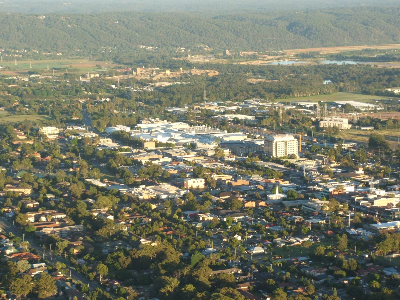
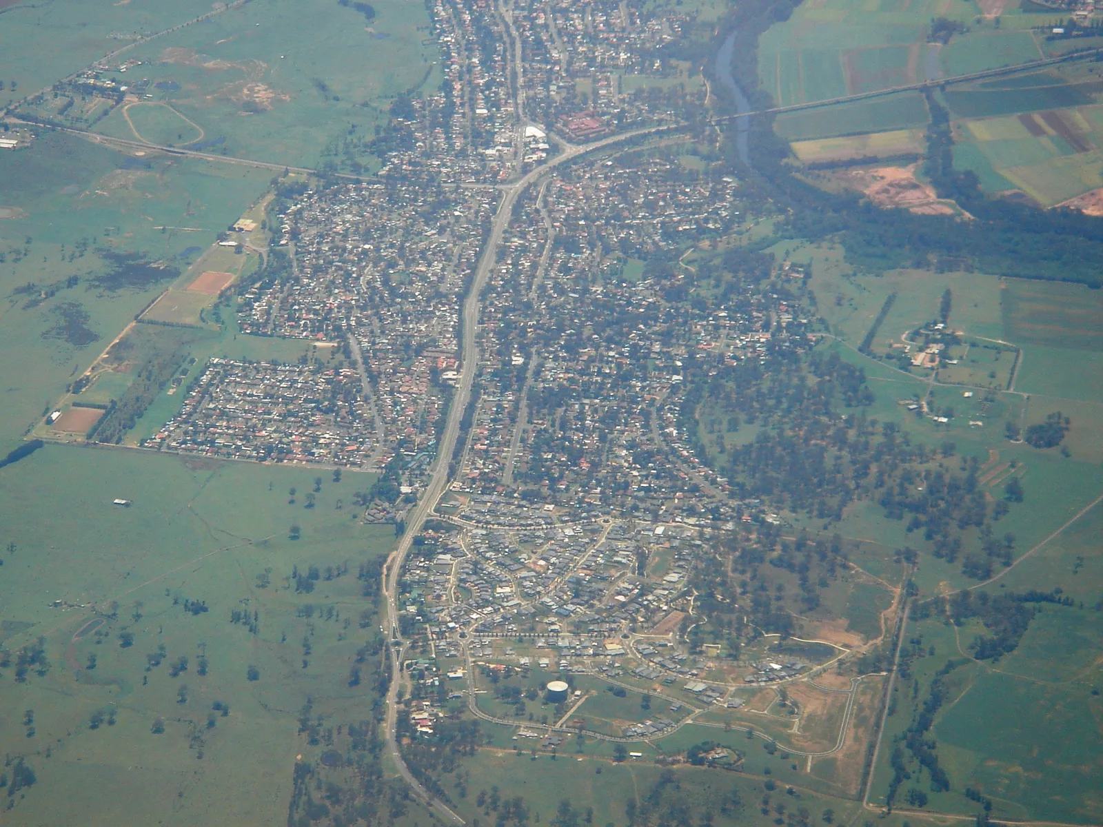
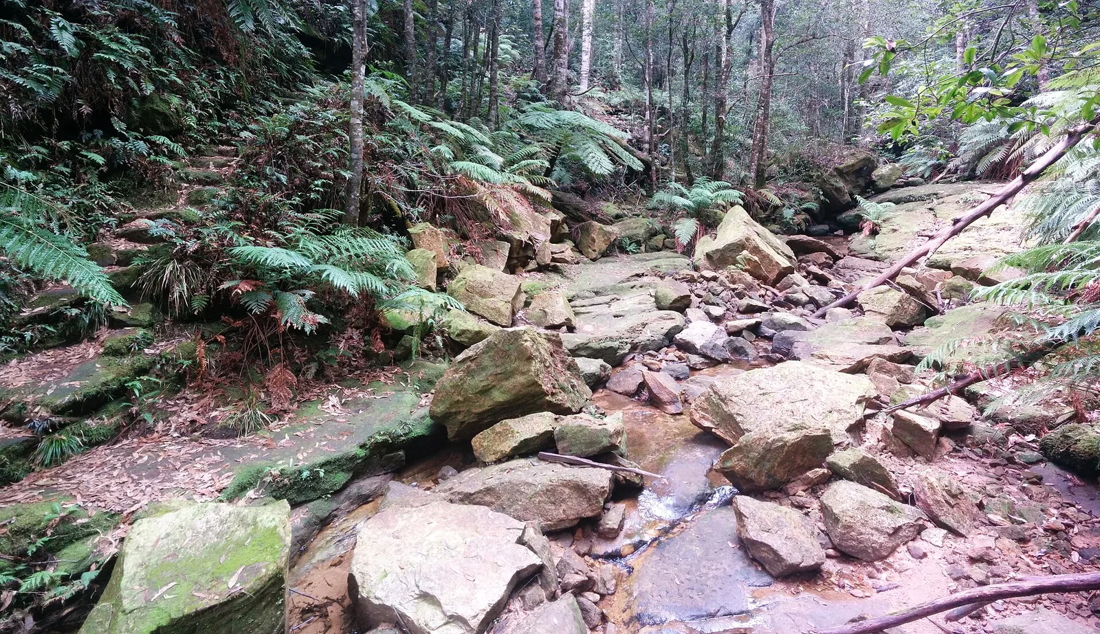
Wollondilly Shire Council is a vast, scenic area located at the southwestern edge of the Greater Sydney region in New South Wales. Often referred to as rural Sydney's spectacular backyard, the shire is a captivating blend of rolling agricultural lands, rugged bushland, and deep sandstone gorges. It serves as a vital green wedge, offering a peaceful rural lifestyle and an array of outdoor adventures while maintaining close proximity to the state's capital and the beautiful South Coast. The historic towns within the shire, such as Picton and Camden, are rich in colonial heritage, featuring beautifully preserved architecture and welcoming local communities. Nature lovers are drawn to the incredible landscapes of Wollondilly. The Nattai National Park and the Thirlmere Lakes National Park provide pristine environments for hiking, birdwatching, and camping. While there are no coastal beaches, the area has magnificent freshwater bodies like Lake Burragorang, one of the largest domestic water supply dams in the world, surrounded by untouched wilderness. The towering sandstone cliffs, deep valleys, and cascading waterfalls create a dramatic setting for wilderness exploration and eco-tourism. The gastronomic scene in Wollondilly is deeply rooted in its agricultural heritage. The region produces excellent stone fruits, vegetables, and artisanal goods, which are proudly showcased at local farmers' markets and country pubs. Visitors can enjoy hearty, locally sourced meals in historic inns or visit local orchards to pick their own fruit in season. Accessible by train and major highways, Wollondilly Shire is an inviting destination for those seeking tranquility, historical charm, and an authentic Australian country experience just outside the bustling metropolis.
Explore on the map
How well do you know Australia?
Find cities, landscapes and regions in 10 varied challenges on the interactive map.
Your journey, your memory
A postcard from Wollondilly Shire Council
Turn your own photo into a personal postcard with a local stamp. Free and no sign-up required.
Create a postcard- Location: Australia
- Nearby: Camden Council (28 km)
- Population: ~43.259
Geography
Facts
- Located on the southwestern fringe of Sydney
- Features deep sandstone gorges and rugged bushland
- Home to Lake Burragorang, a massive water supply dam
- Rich in colonial heritage with towns like Picton
- Gateway to the Nattai National Park
- Known for agricultural produce and farm markets
- Offers the scenic Thirlmere Lakes for recreation
- Provides a rural escape close to the capital
Explore nearby
Notable places around
Route planner — Car & Motorhome
Where do you start? We build the route here, with stops and country notes along the way.
© OpenStreetMap contributors · OpenRouteService
Sights in the town Wollondilly Shire Council (1)
Frequently asked questions
Wollondilly Shire Council: where is it located?
Wollondilly Shire Council: why is it worth visiting?

Nearby cities