Plizio Visual Lab
Tuggeranong
ℹ️Practical info — Tuggeranong
▾
🌤 Weather — 5 days
📍 Nearby
Sights nearby
💡 Tips
- Lake Tuggeranong has an excellent shared path loop (around 6.7km); hire a bike or walk for a scenic morning.
- Parking at the South Point Shopping Centre is convenient, but check the time limits to avoid fines.
- Bring a reusable coffee cup; many local cafes around the lake offer discounts for eco-friendly practices.
- Sun protection is essential even on cloudy days; Canberra's UV index can be surprisingly high.
🍽 Food
Find a cafe facing Lake Tuggeranong for avocado toast and local coffee.
Check out the local clubs or pubs in the town centre for classic chicken parmigiana.
The Anketell Street precinct has great casual Asian dining options.
🛍 Shopping · 🧘 Quiet spots
The main enclosed mall for all essential brands, clothing, and groceries.
Explore the smaller shopfronts along Anketell Street for unique local gifts.
First-rate for a quiet picnic with views of the Brindabella ranges.
A short drive away, offering a tranquil spot by the Murrumbidgee River.
Water temperature…
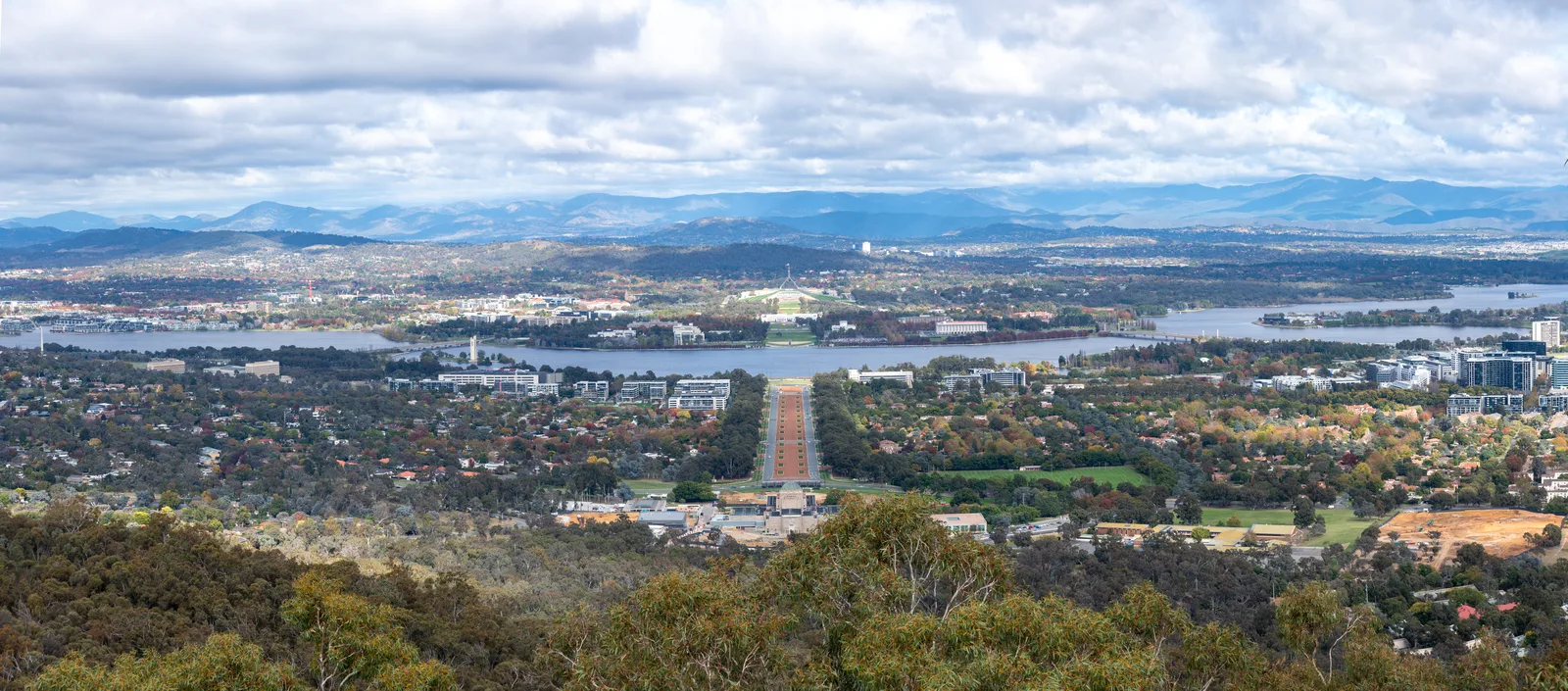
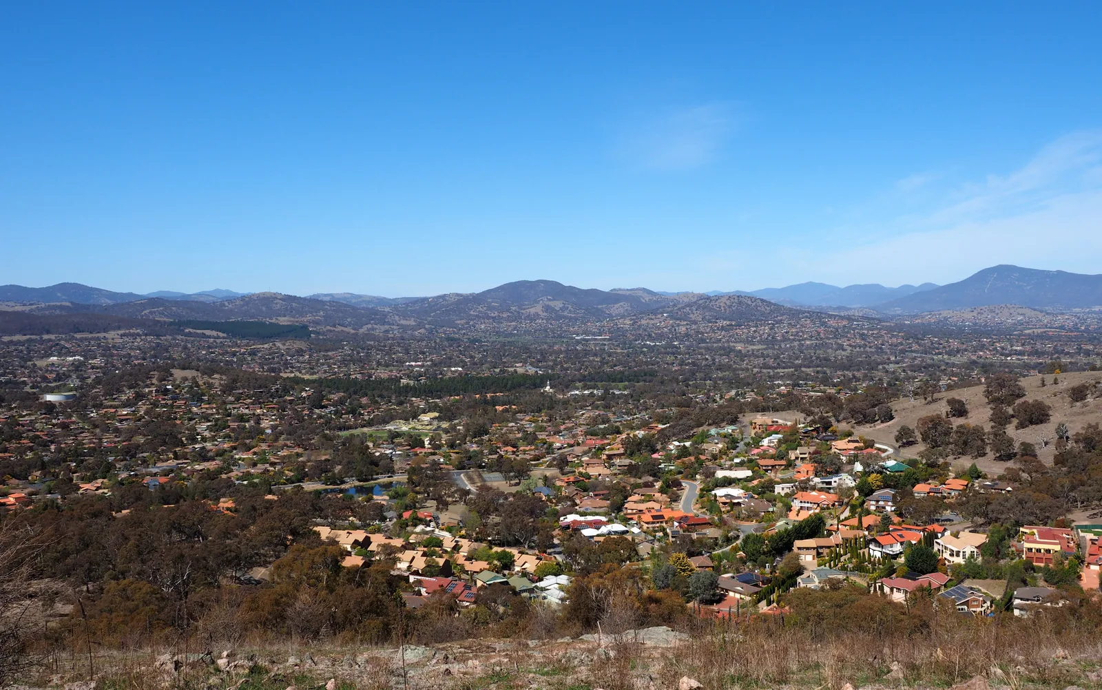
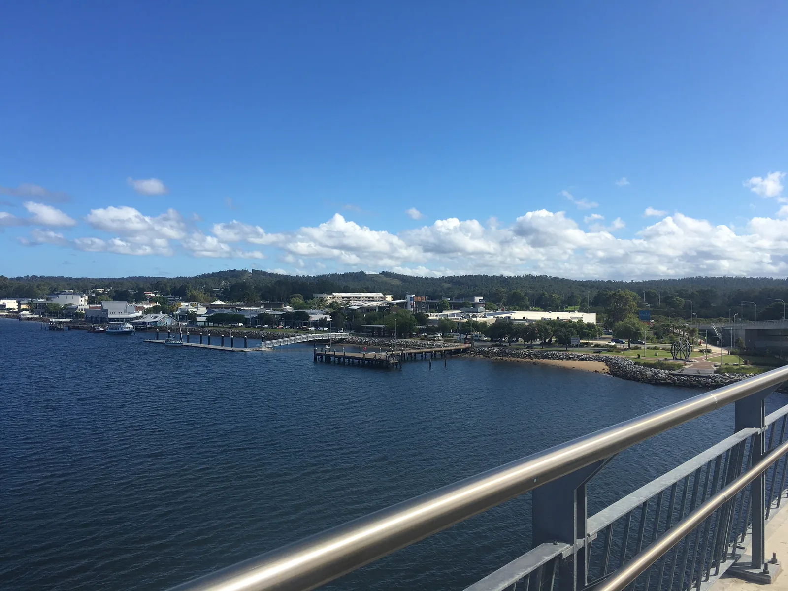
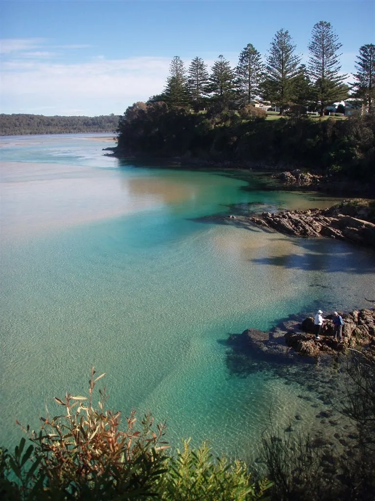
Tuggeranong is the southernmost district of Australia's capital city, Canberra, offering a wonderful blend of modern residential suburbs and expansive natural landscapes. At the heart of the district lies the pretty Lake Tuggeranong, a man-made lake surrounded by extensive parklands, picnic areas, and top-tier cycling and walking trails. This green lung of the city attracts families, fitness enthusiasts, and nature lovers throughout the year. The commercial and social hub of the area is the Tuggeranong Town Centre, which houses numerous retail shops, restaurants, cafes, and major government offices. Residents here enjoy a high quality of life supported by excellent local infrastructure. The scenic backdrop of Tuggeranong is dramatically enhanced by the majestic Brindabella Ranges to the west, providing not only spectacular views but also easy access to mountain trails. Flowing just a short distance from the town center is the iconic Murrumbidgee River. Popular recreational spots like the Pine Island Reserve sit directly on its banks, providing excellent opportunities for swimming and summer barbecues. The seamless combination of urban conveniences and immediate access to the rugged Australian bush makes Tuggeranong a highly attractive place to live and visit.
Explore on the map
How well do you know Australia?
Find cities, landscapes and regions in 10 varied challenges on the interactive map.
Your journey, your memory
A postcard from Tuggeranong
Turn your own photo into a personal postcard with a local stamp. Free and no sign-up required.
Create a postcard- Location: Australia
- Highlights: Oxley Hill Outlook · Tuggeranong Homestead · Nguru
- Nearby: Woden (8 km)
- Population: ~86.900
Geography
Facts
- Serves as the southernmost urban district in Canberra.
- Geographically centered around the man-made Lake Tuggeranong.
- Offers sweeping, breathtaking views of the Brindabella Ranges.
- The Tuggeranong Town Centre is the main commercial hub.
- Located in close proximity to the scenic Murrumbidgee River.
- Pine Island Reserve is a highly popular local swimming spot.
- Features an extensive, well-maintained network of cycling paths.
- European settlers first arrived and farmed the area in the 1820s.
Explore nearby
Notable places around
Route planner — Car & Motorhome
Where do you start? We build the route here, with stops and country notes along the way.
© OpenStreetMap contributors · OpenRouteService
Sights in the town Tuggeranong (7)
Frequently asked questions
Tuggeranong: where is it located?
Tuggeranong: what is there to see?
Tuggeranong: why is it worth visiting?

Nearby cities