Plizio Visual Lab
Colorado River
Weather…
Water temperature…
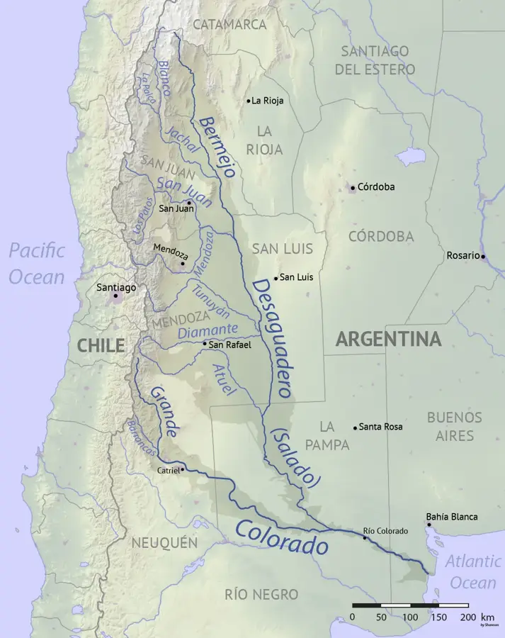
The Colorado River (Río Colorado) is a major waterway in northern Patagonia, serving as a natural boundary between the provinces of La Pampa and Río Negro. It is formed by the confluence of the Grande and Barrancas rivers on the eastern slopes of the Andes. Flowing for approximately 1,000 kilometers across arid steppe landscapes, it eventually empties into the Atlantic Ocean south of Bahía Blanca. The river is the lifeblood of the region, providing essential water for irrigation in an otherwise dry environment, supporting the cultivation of alfalfa and various fruits. The Casa de Piedra dam is a critical piece of infrastructure on the river, used for both hydroelectric power generation and flow regulation. In recent decades, the Colorado has faced significant challenges due to decreasing water levels linked to climate change, sparking ongoing negotiations between the surrounding provinces over water rights. Despite these issues, the river valley remains a vital ecological corridor, hosting diverse bird species and native vegetation amidst the vast Patagonian plains.
- Location: Argentina
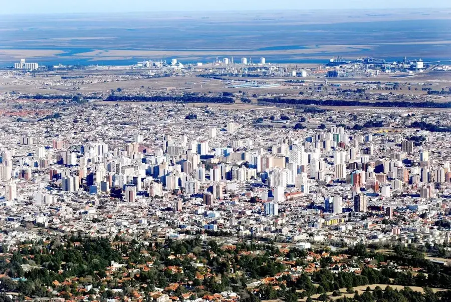
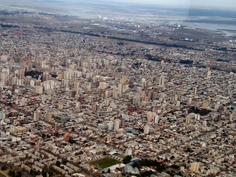
- Nearby: Bahía Blanca (60 km)
Best time to visit & climate
The most pleasant time to visit is Mar, Nov, Dec.
| Jan | Feb | Mar | Apr | May | Jun | Jul | Aug | Sep | Oct | Nov | Dec | |
|---|---|---|---|---|---|---|---|---|---|---|---|---|
| Avg °C | 25 | 23 | 20 | 15 | 10 | 7 | 6 | 9 | 12 | 15 | 20 | 23 |
| Rain mm | 55 | 60 | 62 | 53 | 36 | 21 | 34 | 29 | 44 | 76 | 62 | 47 |
📋 Practical info
Geography
Facts
- The river has a total length of approximately 1,000 kilometers.
- It defines the border between La Pampa and Río Negro provinces.
- The Casa de Piedra dam was completed in 1996.
- The Colorado empties into the Atlantic Ocean south of Bahía Blanca.
- Its drainage basin covers about 80,000 square kilometers.
- The average discharge of the river is 148 cubic meters per second.
Explore nearby
Notable places around
Route planner — Car & Motorhome
Where do you start? We build the route here, with stops and country notes along the way.
© OpenStreetMap contributors · OpenRouteService
Sights nearby
Frequently asked questions
What is the Río Colorado?
What can you do on the Río Colorado?
Is the river a good fishing spot?
What is the climate there?
When is the best time to visit?
Colorado River: where is it located?
Colorado River: when is the best time to visit?
Colorado River: why is it worth visiting?