Plizio Visual Lab
Kwango

Weather…
Water temperature…
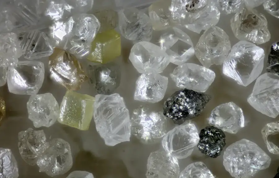
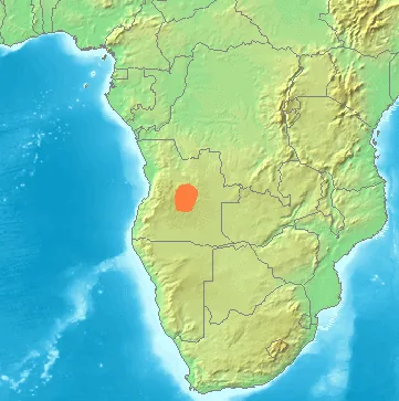
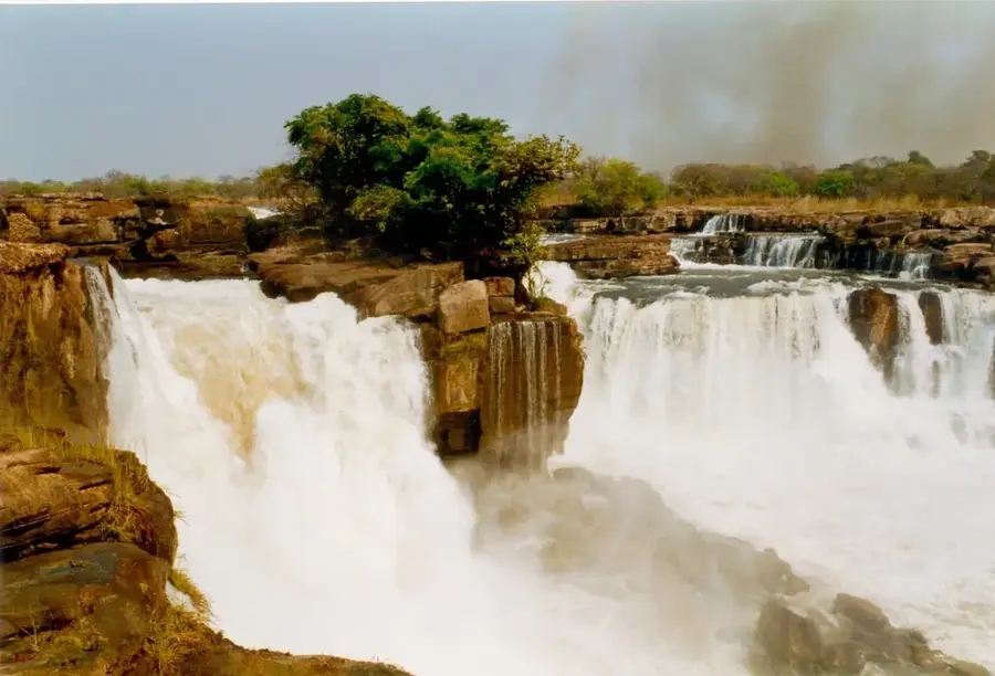
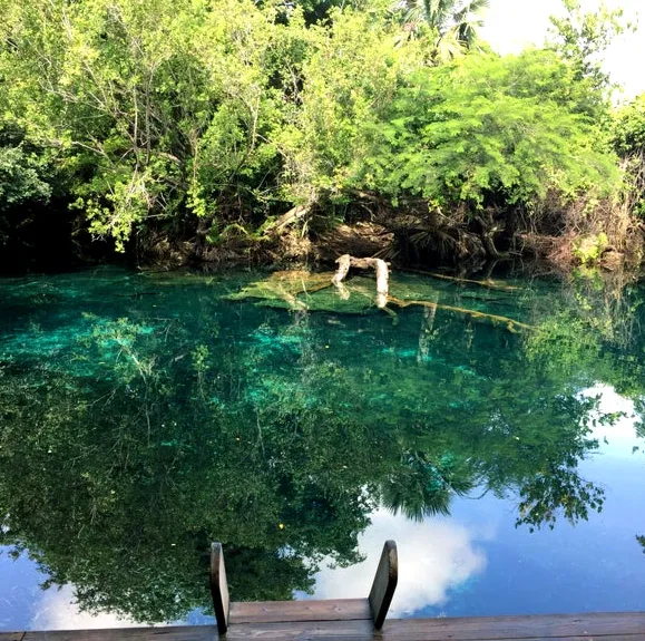
The Kwango River (or Cuango) is a massive waterway in central and northern Angola and one of the largest tributaries of the Kasai River within the Congo Basin. It originates on the Lunda Plateau in central Angola and flows approximately 1,100 kilometers northward, forming a long section of the natural border between Angola and the Democratic Republic of the Congo. Geographically, the Kwango is noted for its deeply incised valley and numerous rapids. Historically and economically, the river is of paramount importance as its basin hosts some of the world's richest deposits of alluvial diamonds. This resource has shaped the region for decades and was frequently a focal point during the Angolan Civil War. The river is navigable in its lower reaches and serves as an important transport route for trade between the two neighboring countries. The Kwango's ecosystem is characterized by dense gallery forests and a rich diversity of fish species, which provide a vital food source for the local communities along its banks.
Best time to visit & climate
The most pleasant time to visit is May–Jul.
| Jan | Feb | Mar | Apr | May | Jun | Jul | Aug | Sep | Oct | Nov | Dec | |
|---|---|---|---|---|---|---|---|---|---|---|---|---|
| Avg °C | 23 | 23 | 23 | 23 | 23 | 22 | 23 | 25 | 24 | 23 | 23 | 22 |
| Rain mm | 181 | 160 | 215 | 163 | 47 | 11 | 4 | 32 | 94 | 175 | 227 | 213 |
📋 Practical info
Geography
Facts
- The Kwango River has a total length of about 1,100 kilometers.
- It forms a portion of the border between Angola and the DR Congo.
- The river valley is world-famous for its rich diamond deposits.
- The source is on the Lunda Plateau at over 1,000 meters altitude.
- The river flows into the Kasai, a major tributary of the Congo.
- The rainy season from October to May causes significant water rises.
Route planner — Car & Motorhome
Where do you start? We build the route here, with stops and country notes along the way.
© OpenStreetMap contributors · OpenRouteService
Sights nearby
Frequently asked questions
What can you do at the Kwango River?
When is the best time to visit the Kwango River?
Do you need a 4x4 for Kwango?
Are there toilets or water points at the river?
Is the Kwango River good for photos?
Kwango: where is it located?
Kwango: when is the best time to visit?
Kwango: why is it worth visiting?

Nearby cities
Nature
More places