Plizio Visual Lab
Menongue
ℹ️Practical info — Menongue
▾
🌤 Weather — 5 days
📍 Nearby
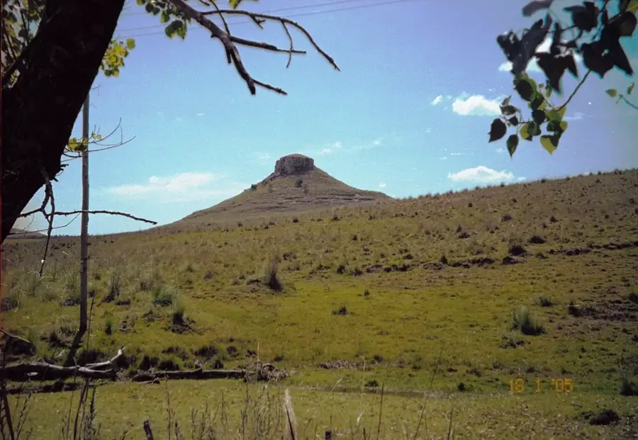
Sights nearby
💡 Tips
- Rent a 4x4 vehicle if you plan to explore the surroundings, as roads outside the center can be unpaved and rough.
- Carry sufficient cash (Kwanzas), as ATMs can be unreliable and card payments are not widely accepted.
- The best time to walk around is early morning to avoid the intense midday heat.
- Learn a few basic phrases in Portuguese, as English is rarely spoken by locals.
- Taxis and motorcycle taxis (kupapatas) are the main transport; negotiate the fare before starting your ride.
🍽 Food
A staple side dish served with savory stews, available at traditional local eateries.
Try this rich, palm oil-based chicken dish at family-run restaurants in the city center.
Enjoy locally caught fish from the Cuebe river, usually grilled or fried at riverside stalls.
🛍 Shopping · 🧘 Quiet spots
The lively main market where you can find fresh produce, colorful fabrics, and everyday goods.
Look for traditional Angolan wood carvings and woven baskets sold by local artisans.
A calming spot by the water, first-rate for watching the slow pace of local river life.
The grounds of the historic Catholic mission offer a peaceful and reflective atmosphere.
Water temperature…
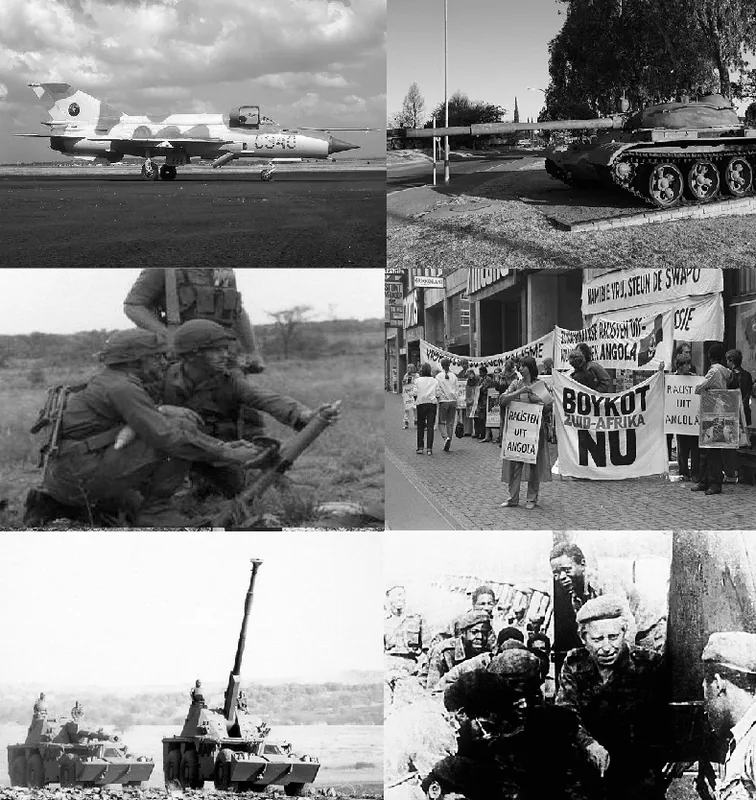
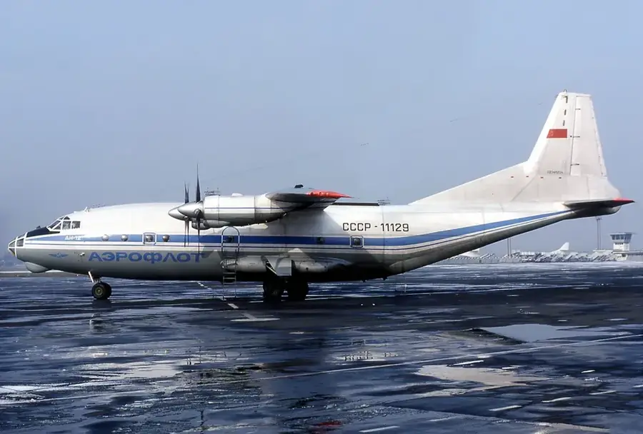
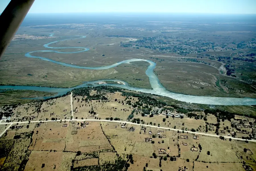
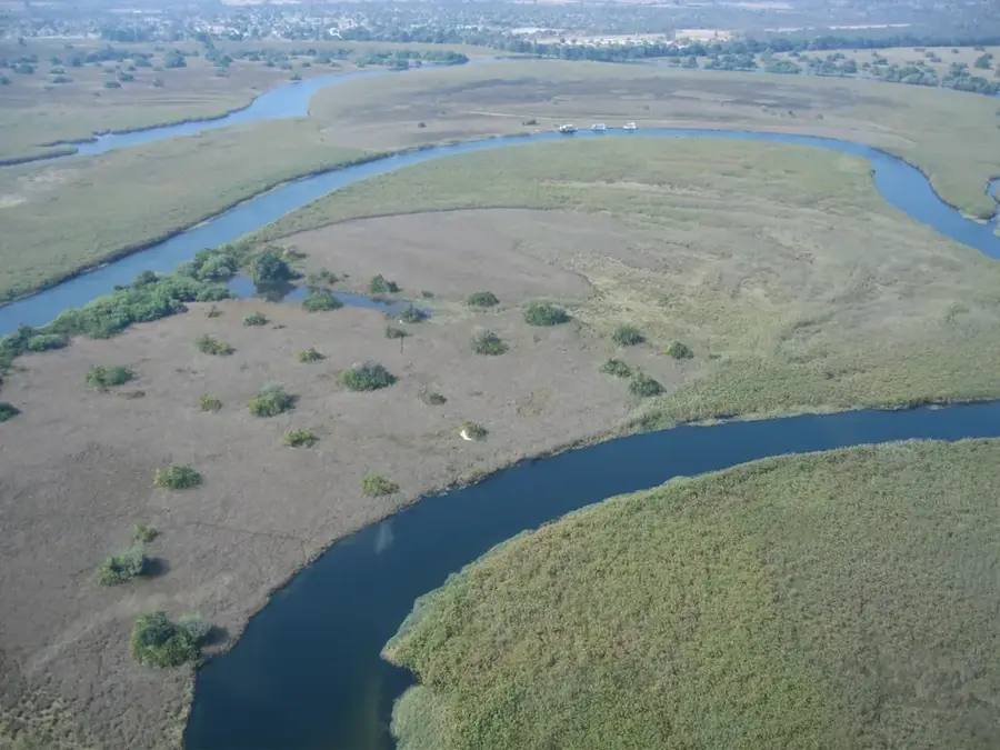
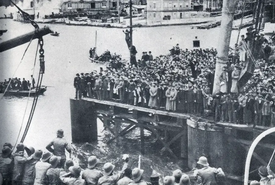
Menongue, the capital city of Cuando Cubango Province in southeastern Angola, serves as a vital strategic outpost and the principal gateway to the remote southeastern interior. Situated at an altitude of approximately 1,050 meters along the banks of the Cuebe River, the city was known as Serpa Pinto during the Portuguese era, named after the explorer who mapped much of the region in the late 19th century. Menongue is most notable as the eastern terminus of the Moçâmedes Railway (CFM), a critical 900-kilometer transport corridor that connects the city to the Atlantic port of Namibe. This railway is the lifeblood of the region, facilitating the movement of supplies, timber, and agricultural products across the vast southern plains. The province of Cuando Cubango is often referred to as the 'Land at the End of the World' due to its historic isolation, but Menongue has evolved into a bustling administrative center characterized by modern infrastructure projects and a growing population. The surrounding environment consists of vast savanna woodlands and floodplains that are part of the headwaters of the Okavango River system, offering significant potential for high-end eco-tourism within the Kavango-Zambezi Transfrontier Conservation Area (KAZA). Historically, Menongue was a focal point during the final stages of the Angolan Civil War, particularly due to its proximity to the decisive Battle of Cuito Cuanavale. Culturally, the city is a hub for the Nganguela people, whose unique languages and traditional customs enrich the local social landscape. The city features a modernized airport, which provides essential links to Luanda, and is the starting point for road networks leading towards the borders of Namibia and Zambia. As Angola seeks to diversify its economy, Menongue is positioned to play a central role in agricultural development and regional environmental conservation efforts.
- Location: Angola
- Nearby: Cuchi (89 km)
- Population: ~251.178 (2026)
Geography
Facts
- Menongue is located at an elevation of 1,050 meters on the Cuebe River.
- The city serves as the eastern gateway of the Moçâmedes Railway (CFM).
- It was officially known as Serpa Pinto until Angola's independence in 1975.
- Menongue is the provincial capital of Cuando Cubango.
- The city is part of the transboundary Kavango-Zambezi conservation area.
- Menongue Airport (IATA: SPP) is a key logistical link to Luanda.
- The city is a central point for the Nganguela ethnic and cultural group.
- The region experiences a cold dry season with temperatures dropping below 10°C.
Route planner — Car & Motorhome
Where do you start? We build the route here, with stops and country notes along the way.
© OpenStreetMap contributors · OpenRouteService
Sights in the town Menongue (1)
Frequently asked questions
How many days do you need for Menongue?
When is the best time to visit Menongue?
What is the easiest way to get to Menongue?
What food is typical in Menongue?
Is Menongue family-friendly?
Menongue: where is it located?
Menongue: why is it worth visiting?