Plizio Visual Lab
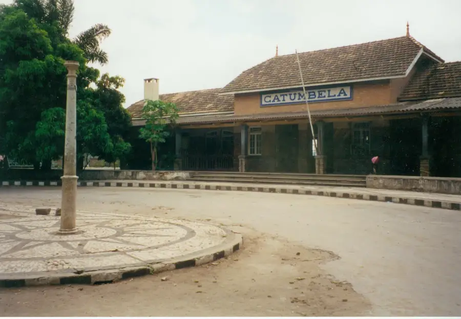
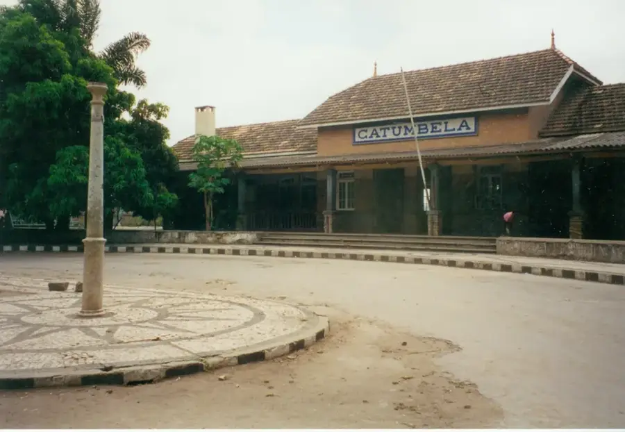
Catumbela
Weather…
Water temperature…
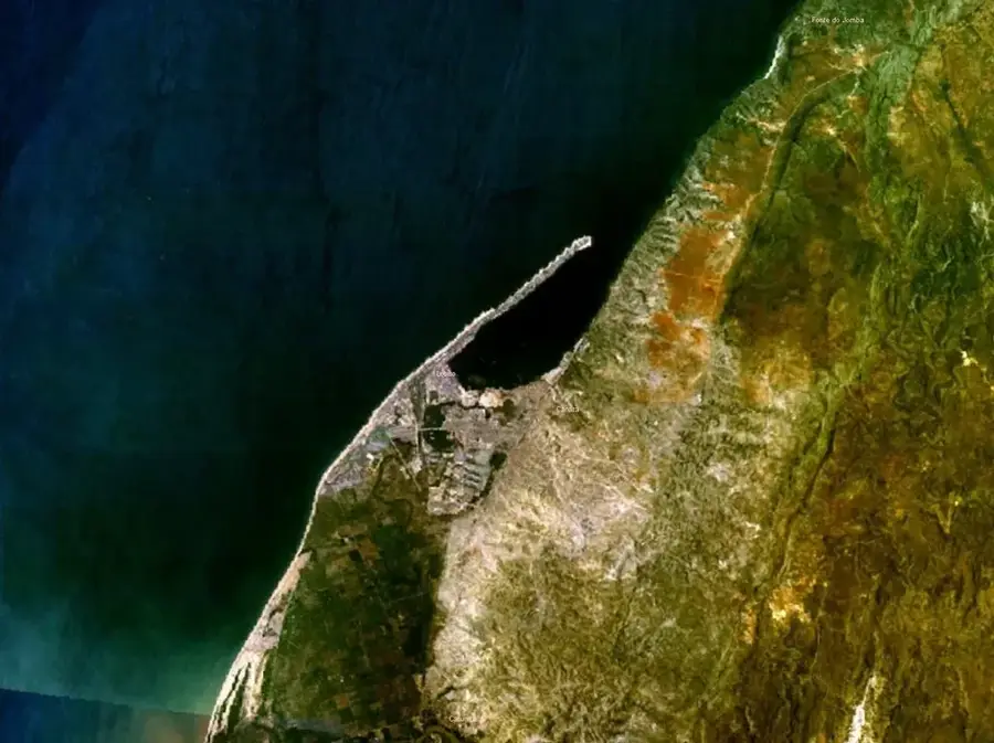
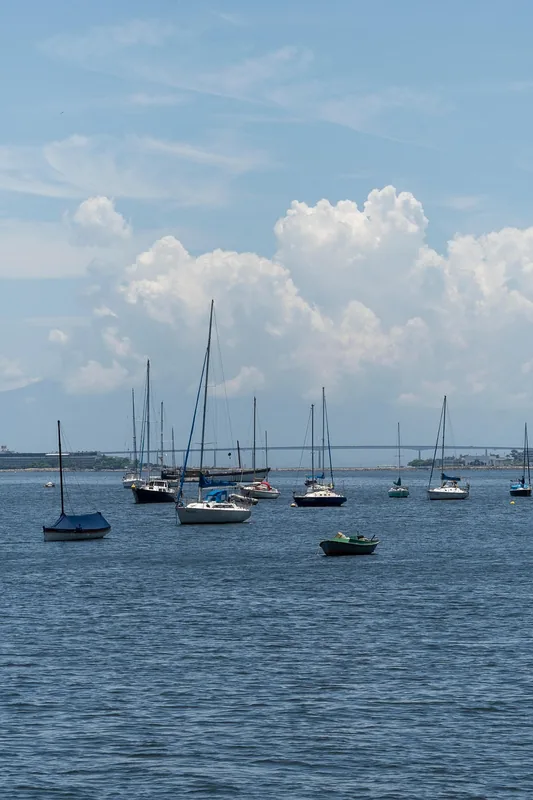
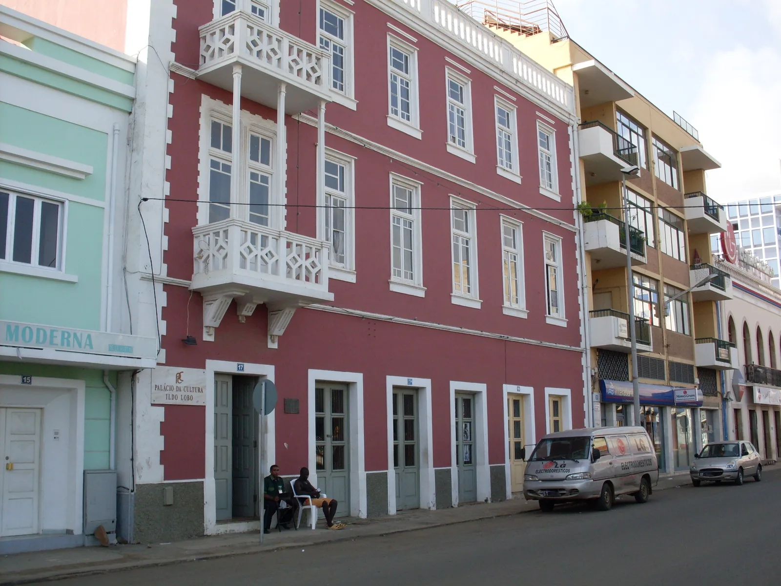
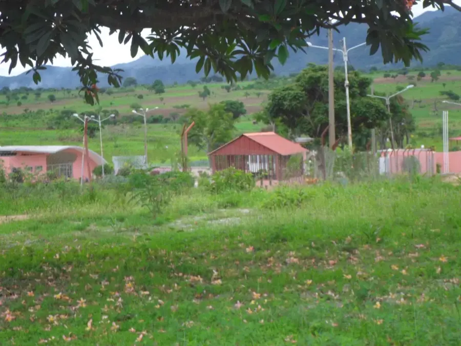
The Rio Catumbela is a significant river in the Benguela Province of western Angola, emptying into the Atlantic Ocean between the cities of Lobito and Benguela. Originating in the mountains of Cassongue, it overcomes numerous elevation changes on its way to the coast, making it well-suited for hydroelectric exploitation. The Lomaum power plant on the upper reach of the Catumbela is one of the most vital energy sources for the surrounding region. The river's fertile delta is intensively used for agriculture, particularly for the cultivation of sugarcane, bananas, and other tropical fruits. Historically, the mouth of the Catumbela was a major hub for trade and the supply of early Portuguese settlements. The river landscape is characterized by lush vegetation and provides a habitat for a variety of animal species. Today, the Catumbela is a symbol of the integration between industrial utility and agricultural tradition in Angola.
- Location: Angola
- Nearby: Lobito (6 km)
Best time to visit & climate
The most pleasant time to visit is Jun–Aug.
| Jan | Feb | Mar | Apr | May | Jun | Jul | Aug | Sep | Oct | Nov | Dec | |
|---|---|---|---|---|---|---|---|---|---|---|---|---|
| Avg °C | 25 | 25 | 25 | 26 | 25 | 23 | 22 | 22 | 23 | 25 | 25 | 24 |
| Rain mm | 77 | 76 | 109 | 67 | 4 | 1 | 0 | 3 | 13 | 40 | 126 | 62 |
📋 Practical info
Geography
Facts
- The Rio Catumbela has a length of approximately 240 kilometers.
- The Lomaum hydroelectric plant was rebuilt after its destruction during the civil war.
- A strategically important railway bridge is located at the mouth of the river.
- The region around the river is known for its historical sugarcane production.
- The river serves as the primary water source for the cities of Lobito and Benguela.
- The Catumbela delta hosts significant mangrove stands along the coast.
Explore nearby
Notable places around
Route planner — Car & Motorhome
Where do you start? We build the route here, with stops and country notes along the way.
© OpenStreetMap contributors · OpenRouteService
Sights nearby
Frequently asked questions
What is Catumbela known for?
When is the best time to visit?
Are there places to eat by the river?
Can you photograph everyday life and nature there?
Is Catumbela suitable for families?
Catumbela: where is it located?
Catumbela: when is the best time to visit?
Catumbela: why is it worth visiting?

Nearby cities
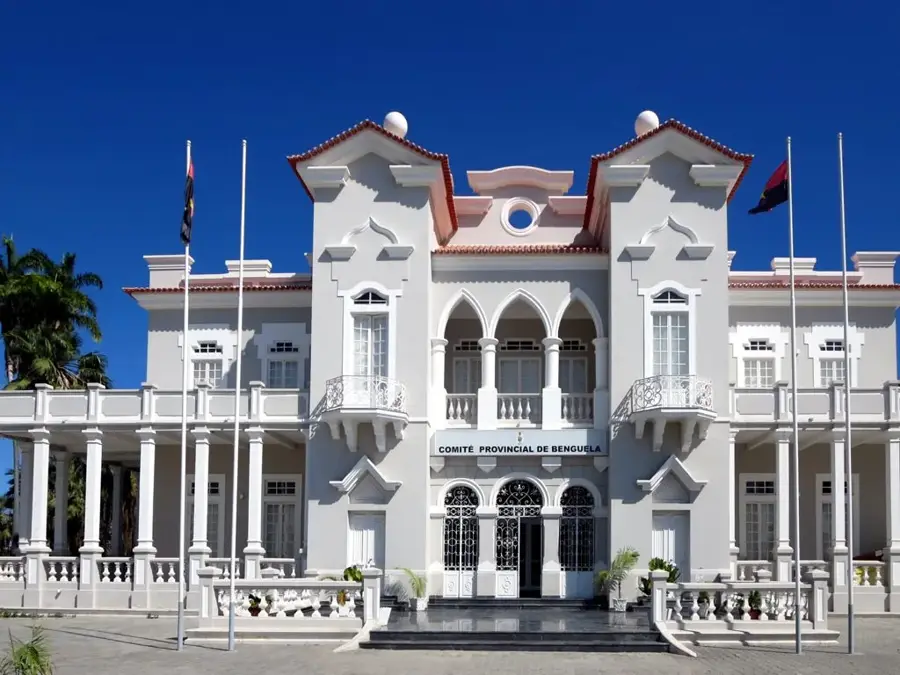
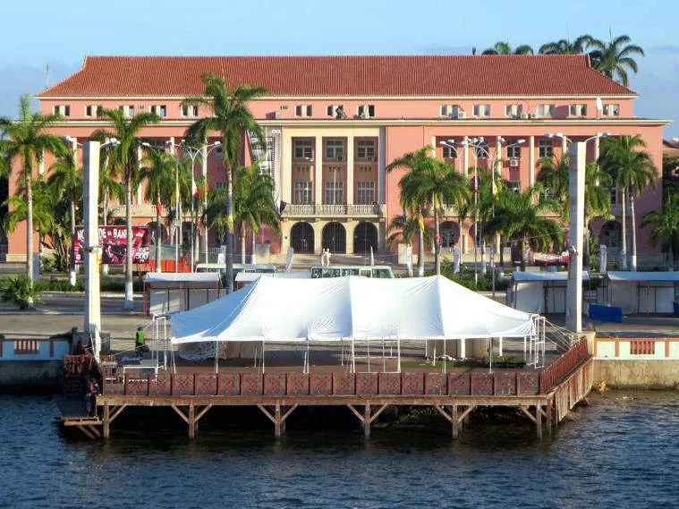


History & landmarks

More places