Plizio Visual Lab
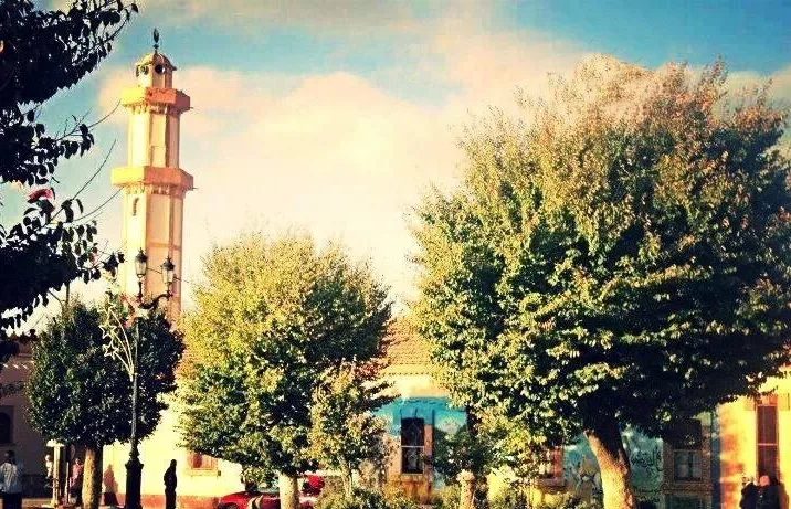
El Bayadh
ℹ️Practical info — El Bayadh
▾
🌤 Weather — 5 days
📍 Nearby
Sights nearby
💡 Tips
- Bring warm clothes for cool evenings, as the city sits on a plateau in the Saharan Atlas.
- Expect a dry climate; carrying a water bottle is essential during excursions.
- Respect local traditions and dress modestly when walking through the city.
- Visit the old town area early in the morning to avoid the midday heat.
🍽 Food
Look for this hearty dish in traditional eateries in the city center.
Try it in the small tea shops around the central square.
Buy these as a snack at the municipal fresh market.
🛍 Shopping · 🧘 Quiet spots
At the local craft markets you can find beautiful pieces featuring Saharan Atlas patterns.
In the small shops of the old town you can purchase aromatic spice blends.
Enjoy the expansive views of the surrounding plateau during a walk.
Look for shaded benches under the trees in the center to escape the hustle and bustle.
Water temperature…
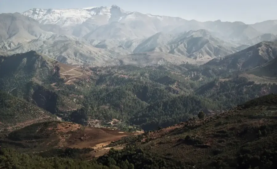
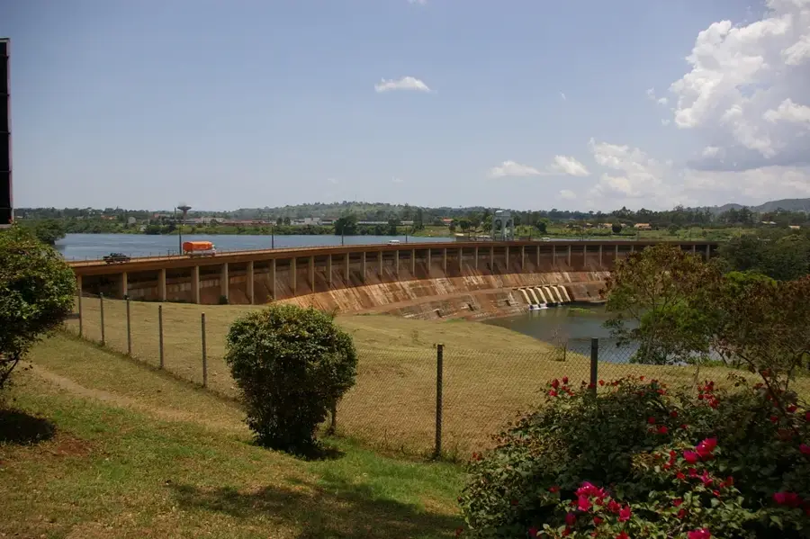
El Bayadh, formerly known as Géryville during the French colonial era, is the administrative capital of the province of the same name in the Algerian highlands. Situated at an impressive altitude of about 1,300 meters on the northern edge of the Saharan Atlas, it ranks among the highest cities in Algeria. This geographic position grants the city a unique climate characterized by harsh, often snowy winters and relatively mild summers compared to the lower plains. Historically, the area served as a strategic outpost for governing the nomadic tribes of the high steppes. The local economy is primarily centered on extensive livestock farming, particularly the breeding of high-quality sheep. The surrounding region also hosts significant thermal springs valued for their medicinal properties. El Bayadh functions as a gateway to the Sahara, bridging the agricultural north with the expansive desert landscapes of the south.
- Location: Algeria
- Top sights: Gazelles Monument · El Bayadh · Sheikh Bouamama Monument
- Population: ~85.577 (2026)
Best time to visit & climate
The most pleasant time to visit is May, Jun, Sep.
| Jan | Feb | Mar | Apr | May | Jun | Jul | Aug | Sep | Oct | Nov | Dec | |
|---|---|---|---|---|---|---|---|---|---|---|---|---|
| Avg °C | 5 | 6 | 10 | 14 | 19 | 25 | 29 | 28 | 23 | 17 | 9 | 6 |
| Rain mm | 22 | 14 | 17 | 25 | 18 | 10 | 6 | 15 | 27 | 30 | 32 | 18 |
Geography
Facts
- The city is situated at an average elevation of 1,300 meters.
- The town was named Géryville during the French colonial period.
- El Bayadh Province was officially established in 1984.
- The region is known for its production of alfa grass handicrafts.
- Temperatures frequently drop below freezing during the winter months.
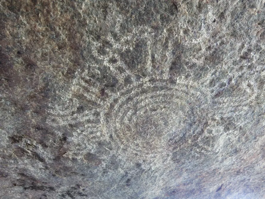
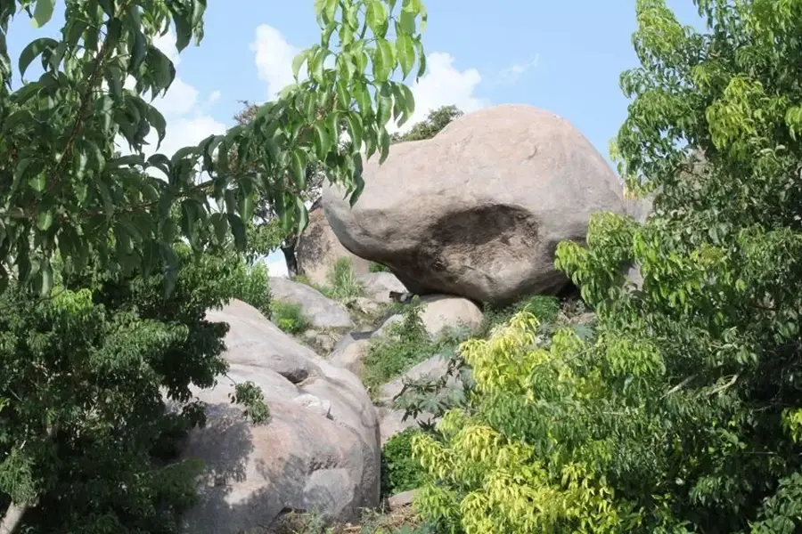
- Nearby rock carvings provide evidence of prehistoric human activity.
Explore nearby
Notable places around
Route planner — Car & Motorhome
Where do you start? We build the route here, with stops and country notes along the way.
© OpenStreetMap contributors · OpenRouteService
Sights in the town El Bayadh (5)
Frequently asked questions
What is Brézina near El Bayadh?
Were dinosaur remains found there?
When is a visit most pleasant?
How is the infrastructure?
What is the Ksar of El Ghalla?
El Bayadh: where is it located?
El Bayadh: what is there to see?
El Bayadh: when is the best time to visit?
El Bayadh: why is it worth visiting?

Nearby cities


History & landmarks
More places