Plizio Visual Lab
Panjshir River

Weather…
Water temperature…
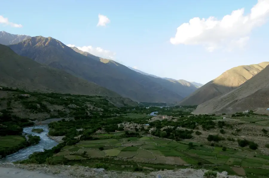
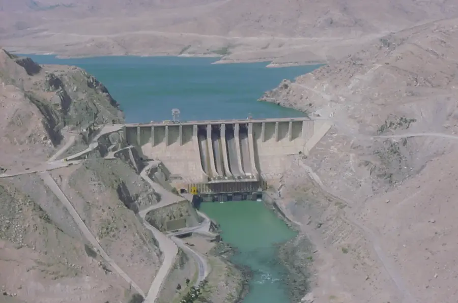
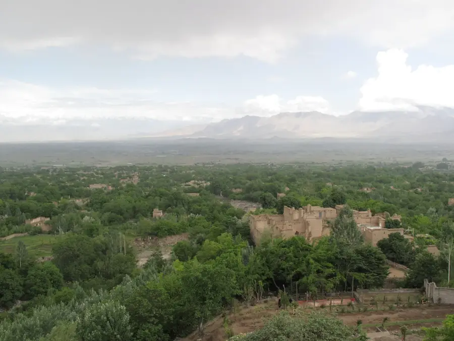
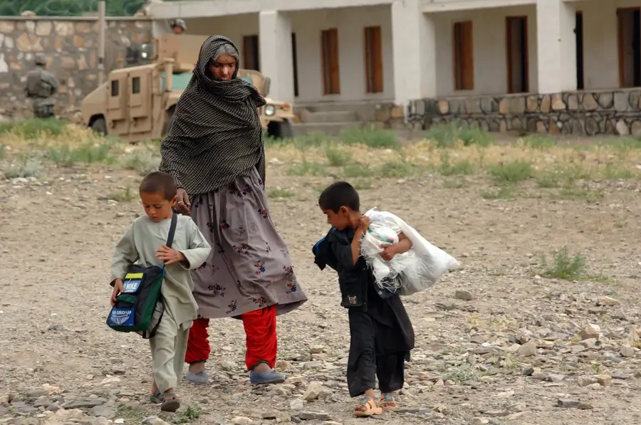
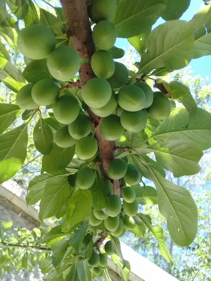
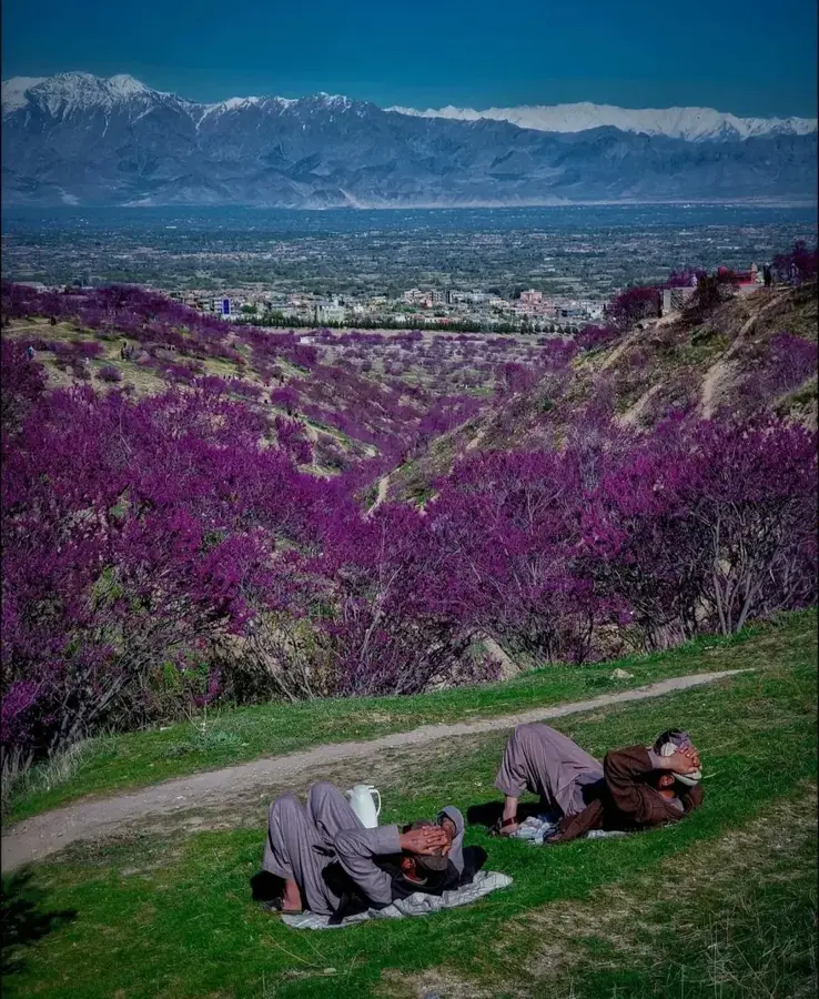
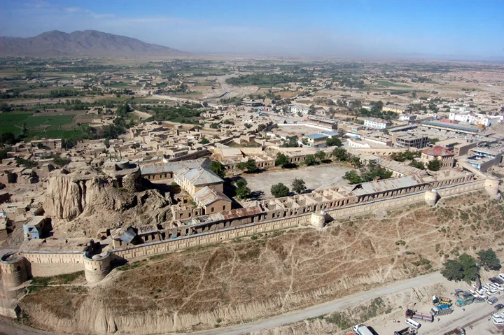
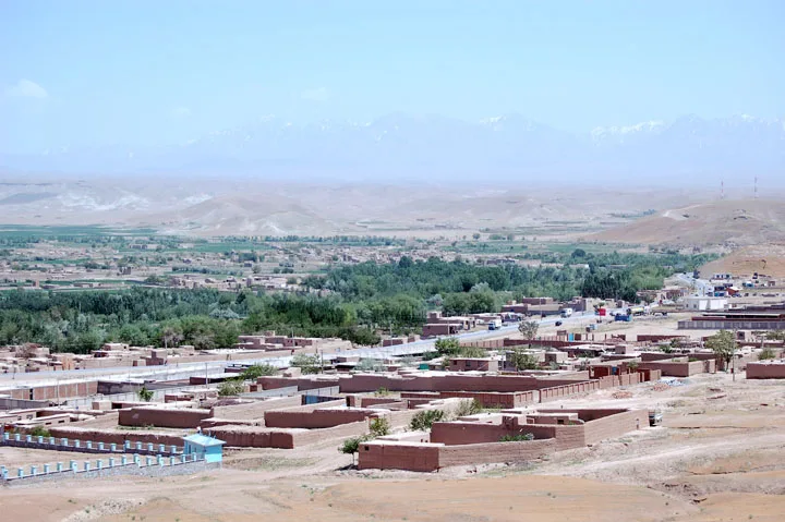
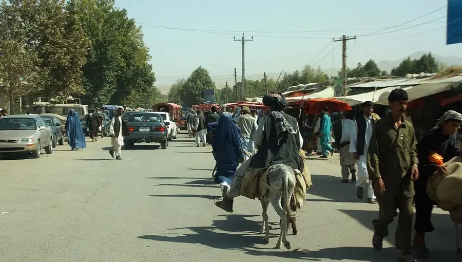
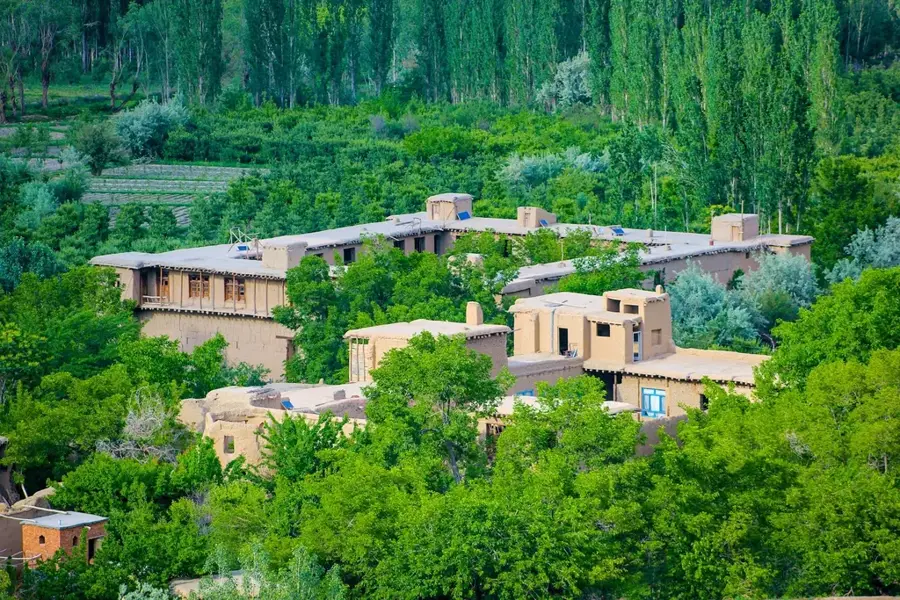
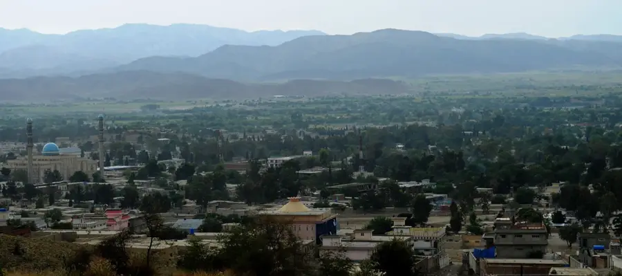
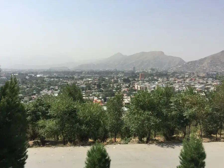
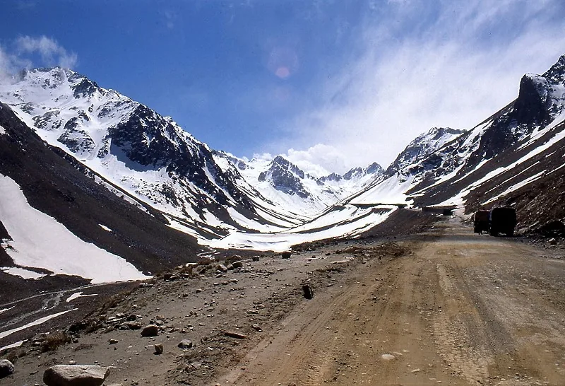
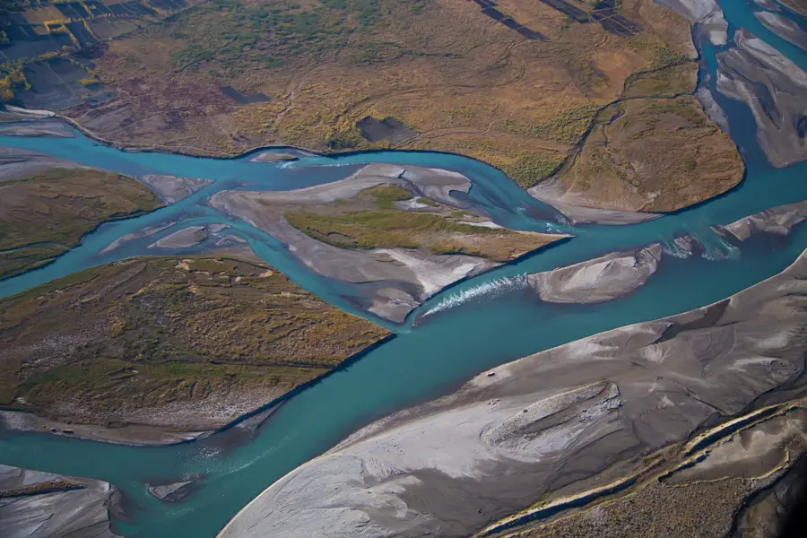
The Panjshir River flows through the iconic Panjshir Valley in northeastern Afghanistan and serves as a major tributary to the Kabul River. Originating near the Anjuman Pass in the Hindu Kush, it plunges through narrow gorges and flows through fertile valley floors. The valley is renowned for its strategic inaccessibility and striking natural beauty, surrounded by towering snow-capped peaks. Historically, the Panjshir River and its valley were centers of resistance against various foreign invasions, most notably during the Soviet-Afghan War under the leadership of Ahmad Shah Massoud. Economically, the river is crucial for local agriculture, sustaining the valley's distinctive terraced fields. Furthermore, the region is famous for its high-quality emerald mines located in the mountains overlooking the river. While the river holds significant potential for hydroelectric power, infrastructure in the area remains relatively underdeveloped. The pristine environment along its banks makes it one of the most scenic regions in Afghanistan.
Best time to visit & climate
The most pleasant time to visit is Jun–Aug.
| Jan | Feb | Mar | Apr | May | Jun | Jul | Aug | Sep | Oct | Nov | Dec | |
|---|---|---|---|---|---|---|---|---|---|---|---|---|
| Avg °C | -3 | -1 | 4 | 10 | 14 | 18 | 21 | 19 | 15 | 10 | 5 | 0 |
| Rain mm | 38 | 56 | 64 | 64 | 37 | 22 | 25 | 28 | 24 | 20 | 26 | 20 |
📋 Practical info
Geography
Facts
- The name 'Panjshir' literally translates to 'Five Lions', referring to five spiritual brothers.
- The Panjshir Valley extends over a length of approximately 100 kilometers.
- The river joins the Kabul River near the town of Surobi.
- Emeralds mined from the Panjshir Valley are considered among the finest in the world.
- During the 1980s, several Soviet offensives failed to fully secure the valley.
- The average elevation of the valley floor ranges between 2,000 and 3,000 meters.
Explore nearby
Notable places around
Route planner — Car & Motorhome
Where do you start? We build the route here, with stops and country notes along the way.
© OpenStreetMap contributors · OpenRouteService
Sights nearby
Frequently asked questions
What is the Panjshir River?
Is the valley scenic?
When is the best time to travel there?
What is the river known for?
How much time should you plan?
Panjshir River: where is it located?
Panjshir River: when is the best time to visit?
Panjshir River: why is it worth visiting?

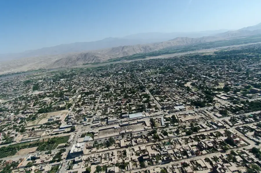
Nearby cities
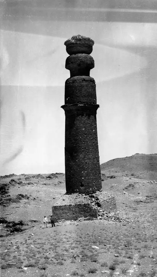
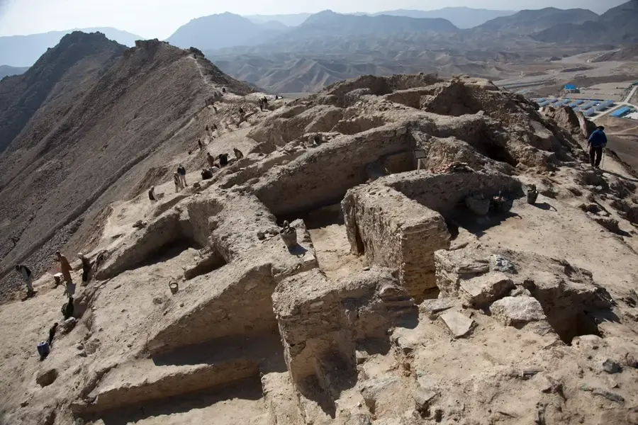
History & landmarks
Nature
More places