Plizio Visual Lab
Asadabad
ℹ️Practical info — Asadabad
▾
🌤 Weather — 5 days
📍 Nearby
Sights nearby
💡 Tips
- Always wear sturdy, all-terrain shoes, as the city and its surroundings are characterized by uneven, steep terrain.
- Always consult up-to-date security warnings from local authorities before and during your stay.
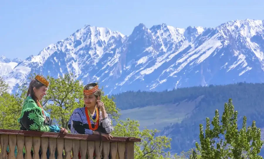
- Dress extremely conservatively and respect the strict local customs in this deeply traditional province.
- Plan trips to the surrounding valleys only in the company of a knowledgeable and reliable local guide.
🍽 Food
Look for this rich rice dish cooked with carrots and raisins at the traditional eateries in the main bazaar.
Ask at small local inns for fried fish caught directly from the Pech or Kunar rivers.
Get the warm flatbread in the morning directly from the tandoor ovens of the local bakers.
🛍 Shopping · 🧘 Quiet spots
Besides everyday essentials, you will find excellent quality nuts, almonds, and dried mulberries here.
Purchase warm scarves and local textiles specifically designed for the harsh mountain climate.
Find a safe spot on the banks where the Pech and Kunar rivers meet to observe the rugged natural beauty.
Take guided walks on the outskirts to quietly marvel at the impressive mountain ranges towering above.
Water temperature…
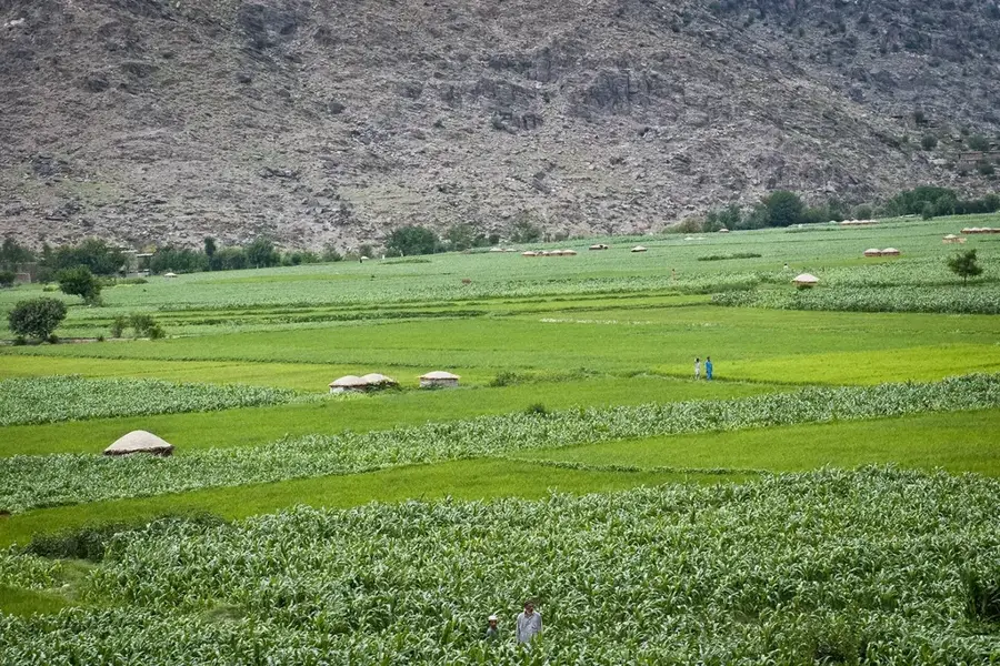
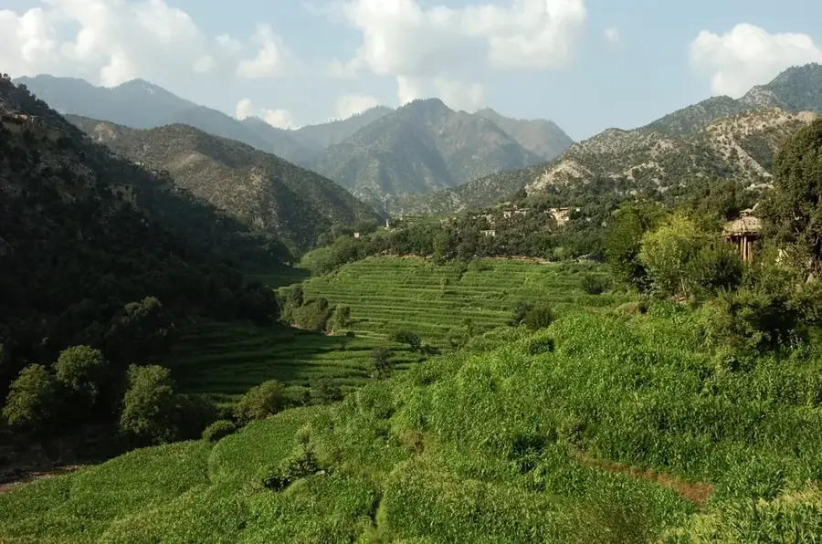
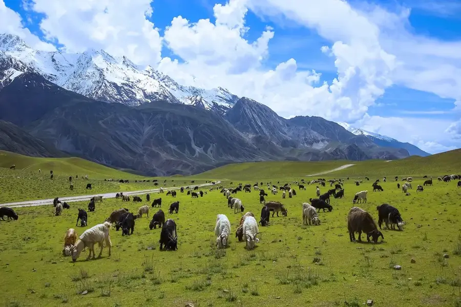
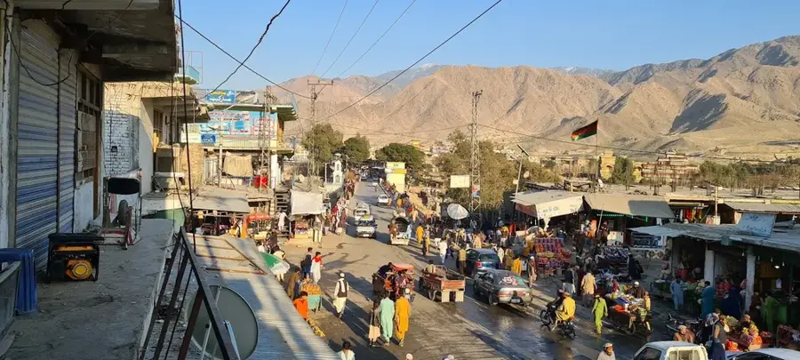
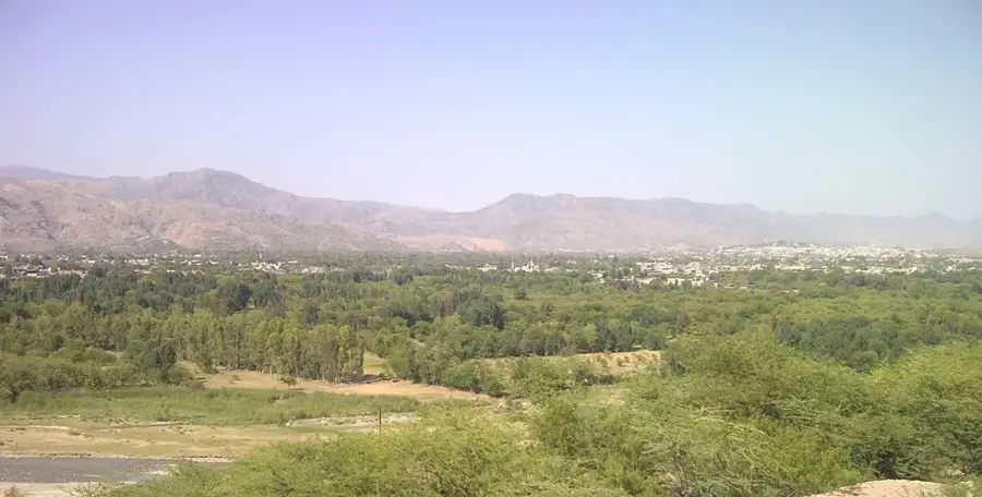
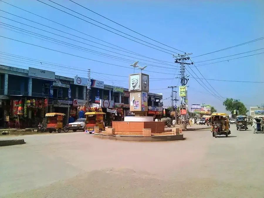
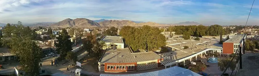
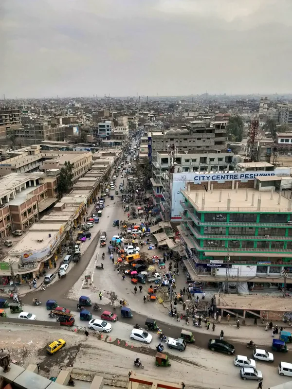
Asadabad, the capital of Kunar Province in eastern Afghanistan, is strategically positioned at the confluence of the Kunar and Pech rivers. Set among the foothills of the Hindu Kush mountains, the city serves as a vital administrative and commercial hub for the surrounding valleys and mountain communities. Its location near the Durand Line, the border with Pakistan, has made it a focal point for regional trade as well as a sensitive area in geopolitical conflicts throughout the 19th and 20th centuries. The surrounding landscape is uniquely green for Afghanistan, characterized by dense coniferous forests that provide timber, which is a major, though often illegally exploited, economic resource. Historically, the Kunar Valley was a route for various conquerors and travelers, contributing to a rich cultural tapestry despite the region's relative isolation. The population is predominantly Pashtun, with socio-political life deeply influenced by traditional tribal structures and codes of honor. The local economy relies heavily on agriculture; irrigation from the rivers supports the cultivation of rice, wheat, and corn on terraced hillsides. Asadabad also hosts educational institutions like Kunar University, which plays a crucial role in developing the region's human capital. The city's infrastructure reflects a blend of traditional mud-brick housing and modern reconstructions following periods of instability. The climate is sub-tropical to temperate, with more rainfall than most of Afghanistan, supporting a diverse range of flora and fauna. As a transit point between Jalalabad and the high mountain districts of Nuristan, Asadabad remains a key logistical node. The resilience of its people is evident in the bustling markets and the ongoing efforts to maintain public services and promote stability in one of Afghanistan's most rugged and strategically significant provincial capitals.
- Location: Afghanistan
- Top sights: Kac Bari Sar · Lahor Sar · Nasawa Sar
- Population: ~48.400 (2026)
Best time to visit & climate
The most pleasant time to visit is Jun, Aug, Sep.
| Jan | Feb | Mar | Apr | May | Jun | Jul | Aug | Sep | Oct | Nov | Dec | |
|---|---|---|---|---|---|---|---|---|---|---|---|---|
| Avg °C | 1 | 2 | 7 | 13 | 18 | 22 | 24 | 22 | 19 | 14 | 8 | 3 |
| Rain mm | 44 | 88 | 88 | 86 | 38 | 30 | 56 | 59 | 31 | 29 | 33 | 27 |
Geography
Facts
- Asadabad is situated at the meeting point of the Kunar and Pech rivers.
- The city's elevation is approximately 820 meters above sea level.
- Kunar Province contains some of Afghanistan's most extensive forests.
- Asadabad is located about 15 kilometers from the Pakistani border.
- The city serves as the administrative capital of Kunar Province.
- Rice and timber are the primary products traded in local markets.
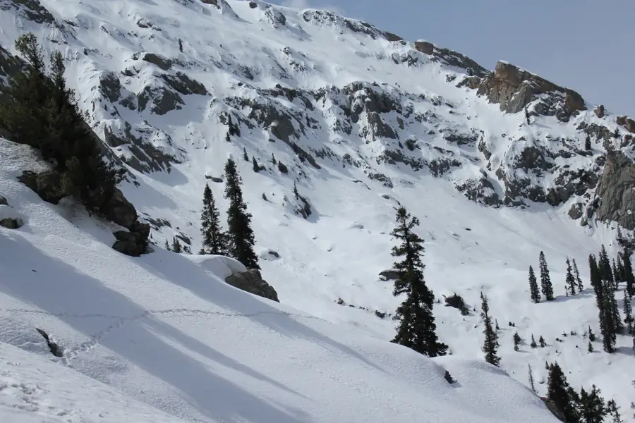
- The area is known for its rugged terrain and steep mountain valleys.
- Pashtunwali, the Pashtun social code, is highly influential here.
Explore nearby
Notable places around
Route planner — Car & Motorhome
Where do you start? We build the route here, with stops and country notes along the way.
© OpenStreetMap contributors · OpenRouteService
Sights in the town Asadabad (3)
Frequently asked questions
Where is Asadabad located?
What is the landscape like?
Is it touristy?
How to get there?
What is essential when visiting?
Asadabad: where is it located?
Asadabad: what is there to see?
Asadabad: when is the best time to visit?
Asadabad: why is it worth visiting?

Nearby cities
History & landmarks
More places